


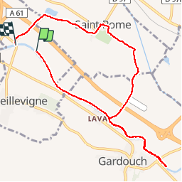

10,5 km | 12,7 km-effort

Utilisateur


Application GPS de randonnée GRATUITE
 SityTrail
IGN / Instituts géographiques
SityTrail World
Le monde est à vous
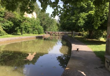
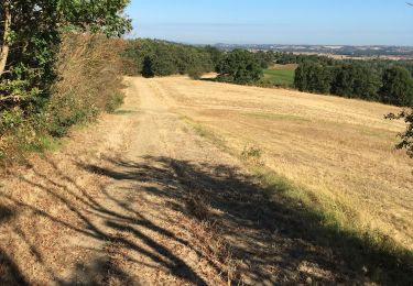
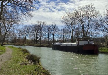
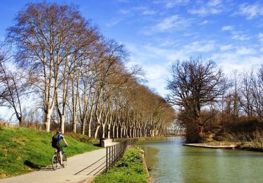
Randonnée Marche de 10,1 km à découvrir à Occitanie, Haute-Garonne, Vieillevigne. Cette randonnée est proposée par arnoultjf.


Marche
Marche
Marche
Marche
Marche
Marche
Marche

Course à pied

Course à pied