


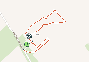

15,6 km | 16,5 km-effort


Utilisateur


Application GPS de randonnée GRATUITE
 SityTrail
IGN / Instituts géographiques
SityTrail World
Le monde est à vous
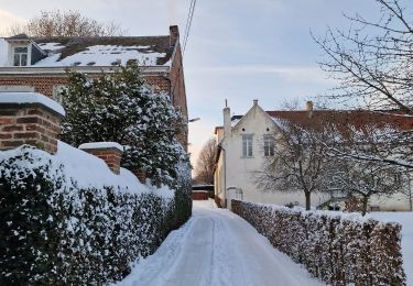
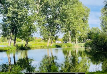
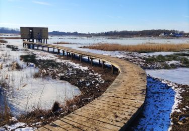
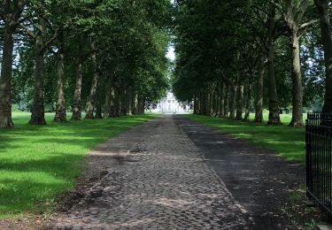
Randonnée Marche de 538 m à découvrir à Flandre, Brabant flamand, Linter. Cette randonnée est proposée par Heisenberg29.
P’
Marche
A pied
A pied

Marche
Marche
Marche
A pied
Marche
Vélo de route