


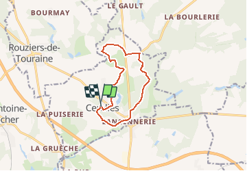

12,6 km | 14,6 km-effort

Utilisateur


Application GPS de randonnée GRATUITE
 SityTrail
IGN / Instituts géographiques
SityTrail World
Le monde est à vous
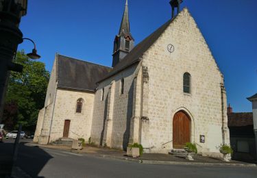
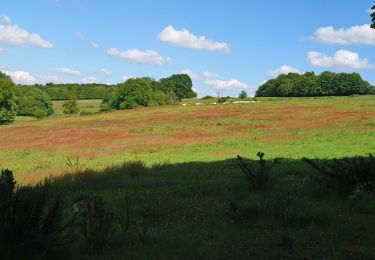
Randonnée Marche de 10,5 km à découvrir à Centre-Val de Loire, Indre-et-Loire, Cerelles. Cette randonnée est proposée par LEMENIO.
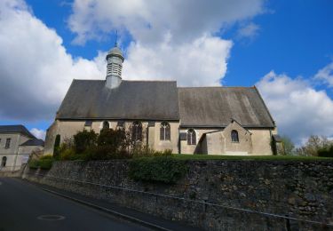
Départ place de la mairie.


Marche
Marche

Marche
Marche
Marche
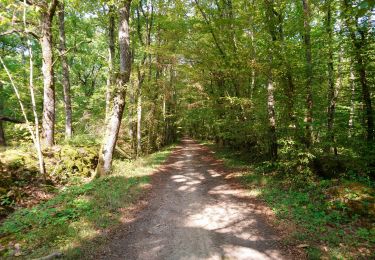
Marche
Marche
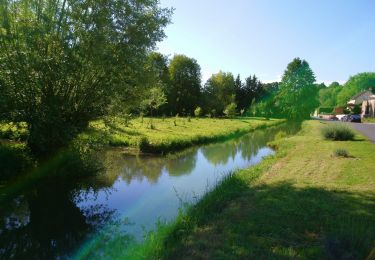
Marche
Marche
Essai depuis 2 jours.. convaincue à part des difficultés pour l'enregistrement du parcours