


 à la Butte du Lion - Photo 21")
 à la Butte du Lion - Photo 22")
 à la Butte du Lion - Photo 23")


21 km | 27 km-effort

Utilisateur


Application GPS de randonnée GRATUITE
 SityTrail
IGN / Instituts géographiques
SityTrail World
Le monde est à vous
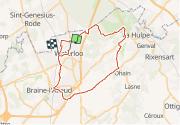
Randonnée Vélo de 28 km à découvrir à Wallonie, Brabant wallon, Waterloo. Cette randonnée est proposée par Waterloo Tourisme.
Circuit vélo de 28 km démarrant de Waterloo et passant par La Hulpe, Lasne et Braine-l'Alleud.
 à la Butte du Lion - Photo 1")
 à la Butte du Lion - Photo 2")
 à la Butte du Lion - Photo 3")
 à la Butte du Lion - Photo 4")
 à la Butte du Lion - Photo 5")
 à la Butte du Lion - Photo 6")
 à la Butte du Lion - Photo 7")
 à la Butte du Lion - Photo 8")
 à la Butte du Lion - Photo 9")
 à la Butte du Lion - Photo 10")
 à la Butte du Lion - Photo 11")
 à la Butte du Lion - Photo 12")
 à la Butte du Lion - Photo 13")
 à la Butte du Lion - Photo 14")
 à la Butte du Lion - Photo 15")
 à la Butte du Lion - Photo 16")
 à la Butte du Lion - Photo 17")
 à la Butte du Lion - Photo 18")
 à la Butte du Lion - Photo 19")
 à la Butte du Lion - Photo 20")
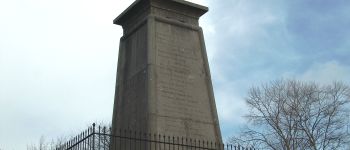
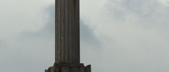
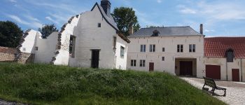
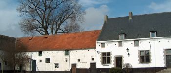
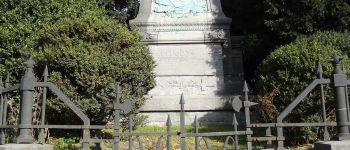
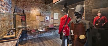
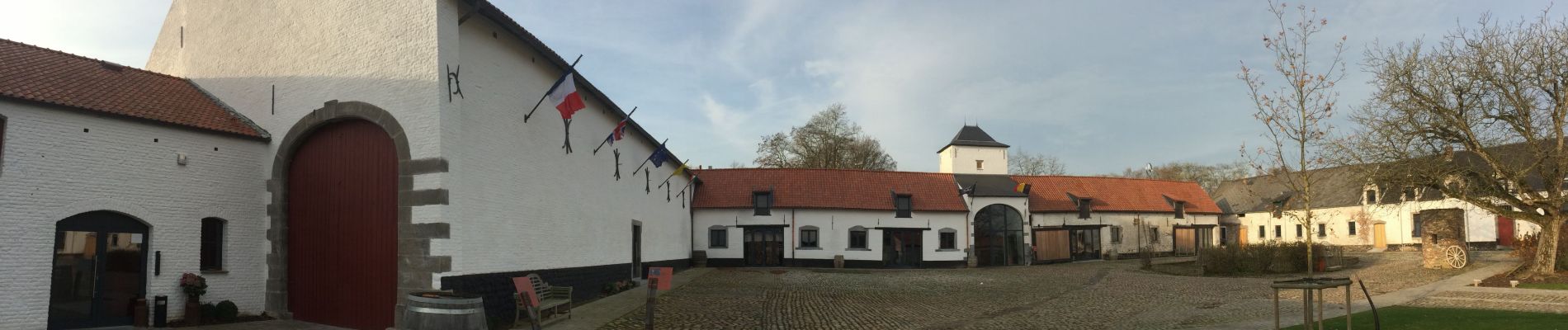
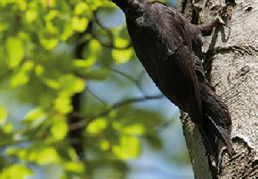
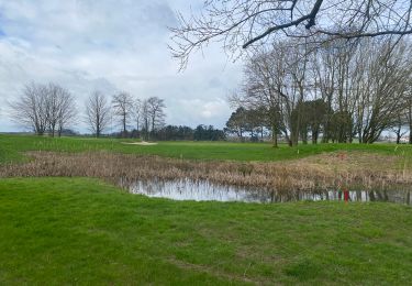
23 photos au total. Cliquez sur une photo pour les afficher toutes dans la galerie.

Marche

Marche

V.T.T.

V.T.T.

V.T.T.
Marche

V.T.T.

Marche
Marche
Merci pour votre randonnée et vos belles photos !