


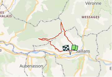

22 km | 40 km-effort

Utilisateur


Application GPS de randonnée GRATUITE
 SityTrail
IGN / Instituts géographiques
SityTrail World
Le monde est à vous
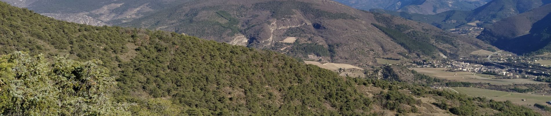
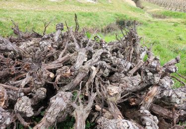
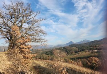
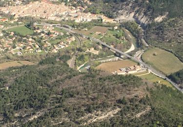
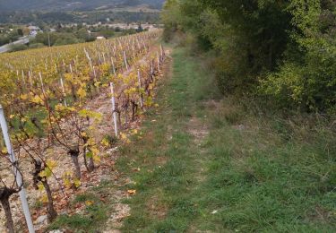
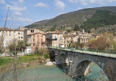
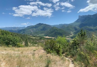
Randonnée Marche de 11,9 km à découvrir à Auvergne-Rhône-Alpes, Drôme, Saillans. Cette randonnée est proposée par phil 26.


Marche

Marche

V.T.T.
Marche
Marche
Marche
Marche
Marche
Marche