


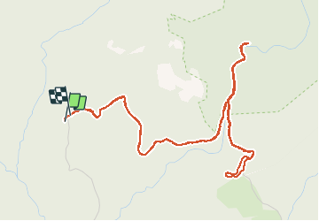

10,4 km | 17,5 km-effort

Utilisateur


Application GPS de randonnée GRATUITE
 SityTrail
IGN / Instituts géographiques
SityTrail World
Le monde est à vous
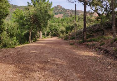
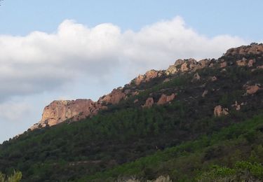
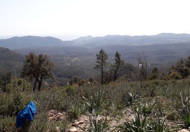
Randonnée A pied de 7,1 km à découvrir à Provence-Alpes-Côte d'Azur, Var, Saint-Raphaël. Cette randonnée est proposée par cb8310.
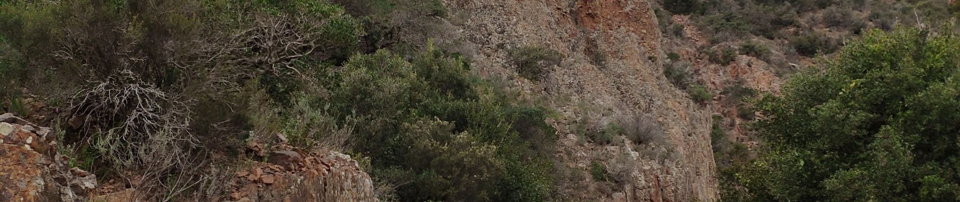
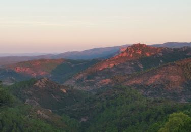
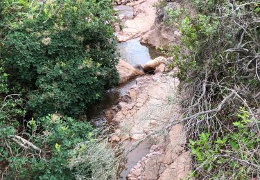
rando sans difficultés qui nous mène au pont du mistral puis au pont des cantines


Marche
Marche
Marche

Marche

Marche

V.T.T.

Marche
Marche
Marche