


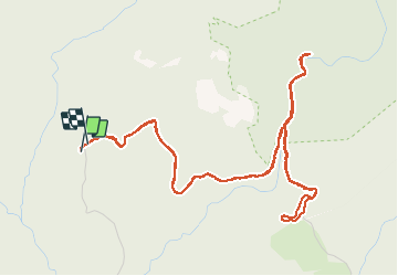

10.4 km | 17.5 km-effort

User


FREE GPS app for hiking
 SityTrail
IGN / Geographical institutes
SityTrail World
The world is yours!
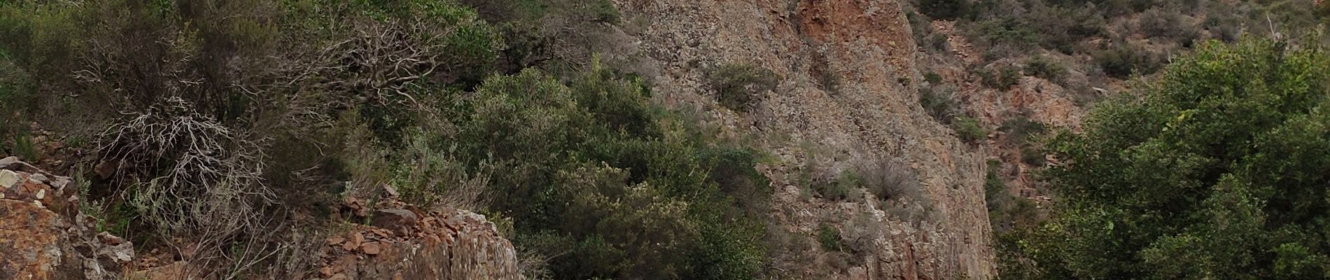
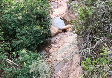
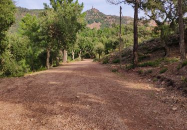
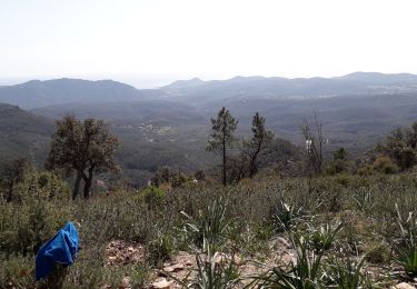
Trail On foot of 7.1 km to be discovered at Provence-Alpes-Côte d'Azur, Var, Saint-Raphaël. This trail is proposed by cb8310.
rando sans difficultés qui nous mène au pont du mistral puis au pont des cantines


Walking
Walking
Walking

Walking

Walking

Mountain bike

Walking

Walking
Walking