


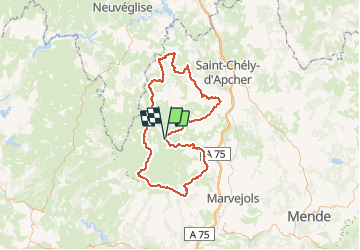


17,5 km | 20 km-effort


Utilisateur


Application GPS de randonnée GRATUITE
 SityTrail
IGN / Instituts géographiques
SityTrail World
Le monde est à vous
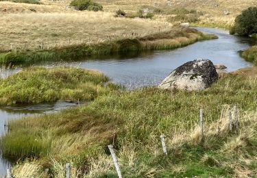
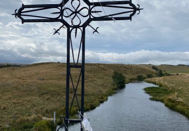
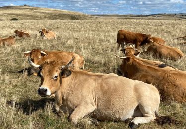
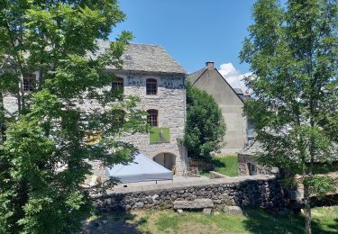
Randonnée Randonnée équestre de 118 km à découvrir à Occitanie, Lozère, Marchastel. Cette randonnée est proposée par Lozère Cheval.
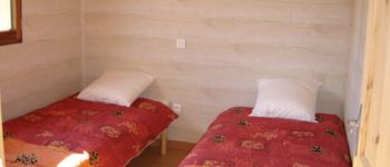
 - Photo 1")
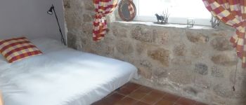
 - Photo 2")
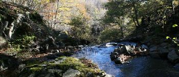
 - Photo 3")
Marche
Marche
Marche


sport
Marche
Marche
Marche
Marche
Marche