


16,8 km | 18,6 km-effort


Utilisateur


Application GPS de randonnée GRATUITE
 SityTrail
IGN / Instituts géographiques
SityTrail World
Le monde est à vous
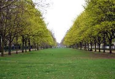
Randonnée Vélo de 67 km à découvrir à Île-de-France, Essonne, Yerres. Cette randonnée est proposée par aucamus.
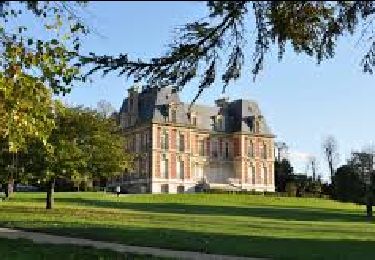
24 communes : Yerres, Boissy St L, Limeil B, Valenton, Villeneuve St G, Crosne, Montgeron, Vigneux, Draveil, Soisy s/S, Etiolles, Tigery, Lieusaint, Combs la V, Quincy s/S, Varennes J, Périgny s/Y, Mandres les R, Servon, Santeny, Marolles, Villecresnes, Boussy St A et Brunoy.
67km
700m
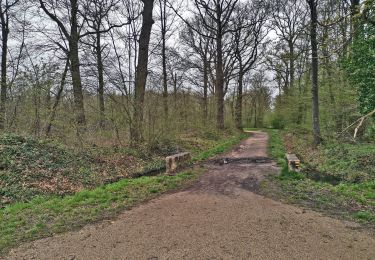
Marche

Marche

Marche
Marche
A pied
Marche
A pied
Marche
Marche