


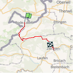

8,2 km | 11,4 km-effort


Utilisateur


Application GPS de randonnée GRATUITE
 SityTrail
IGN / Instituts géographiques
SityTrail World
Le monde est à vous
Randonnée Autre activité de 12,9 km à découvrir à Soleure, Bezirk Dorneck, Rodersdorf. Cette randonnée est proposée par hrb.
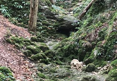
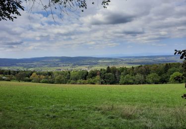
Von burg an ist es stotzig bis zur Challhöhe. Der Gratweg ist schön. Aussichtspunkt auf 800müM
Marche

Vélo
Marche
Marche

Marche
Marche

A pied
Marche
Marche