


8,2 km | 11,4 km-effort


Utilisateur


Application GPS de randonnée GRATUITE
 SityTrail
IGN / Instituts géographiques
SityTrail World
Le monde est à vous
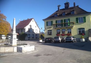
Randonnée Marche de 14,1 km à découvrir à Grand Est, Haut-Rhin, Wolschwiller. Cette randonnée est proposée par boubou68.
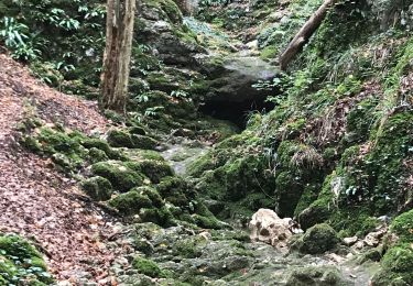
Longue crête escarpée très glisante par temps de pluie.8
Marche
Marche
Marche
Marche

Cheval

Randonnée équestre
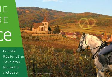
Randonnée équestre

Vélo électrique

A pied