


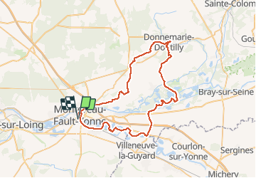

16 km | 19,1 km-effort


Utilisateur


Application GPS de randonnée GRATUITE
 SityTrail
IGN / Instituts géographiques
SityTrail World
Le monde est à vous
Randonnée V.T.T. de 62 km à découvrir à Île-de-France, Seine-et-Marne, Montereau-Fault-Yonne. Cette randonnée est proposée par jl77130.
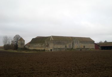
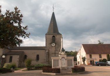
Belle ballade effectuée en VTTAE essentiellement sur GR / PR dans les champs et sous-bois quelques tronçons sur petites routes. Belle église avec cloître à voir à Donnemarie.
A pied
Marche
Marche nordique
A pied
A pied

A pied
Marche nordique

Marche
Marche nordique