


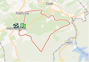


19,9 km | 26 km-effort

Utilisateur GUIDE


Application GPS de randonnée GRATUITE
 SityTrail
IGN / Instituts géographiques
SityTrail World
Le monde est à vous
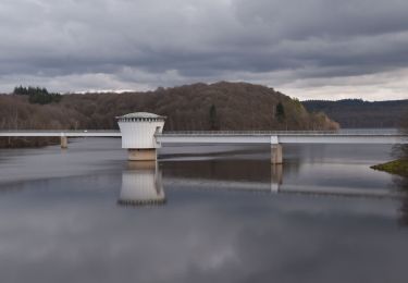
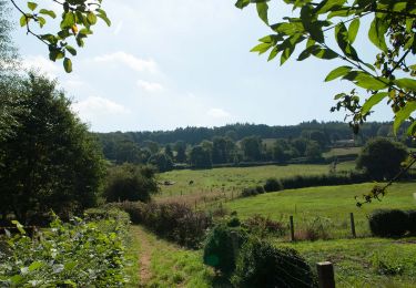
Randonnée Marche de 7,9 km à découvrir à Wallonie, Liège, Limbourg. Cette randonnée est proposée par pierreh01.
Jolie balade au départ de Hèvremont, via sentiers et chemins forestiers principalement, et quelques dénivelés à aborder à son rythme.


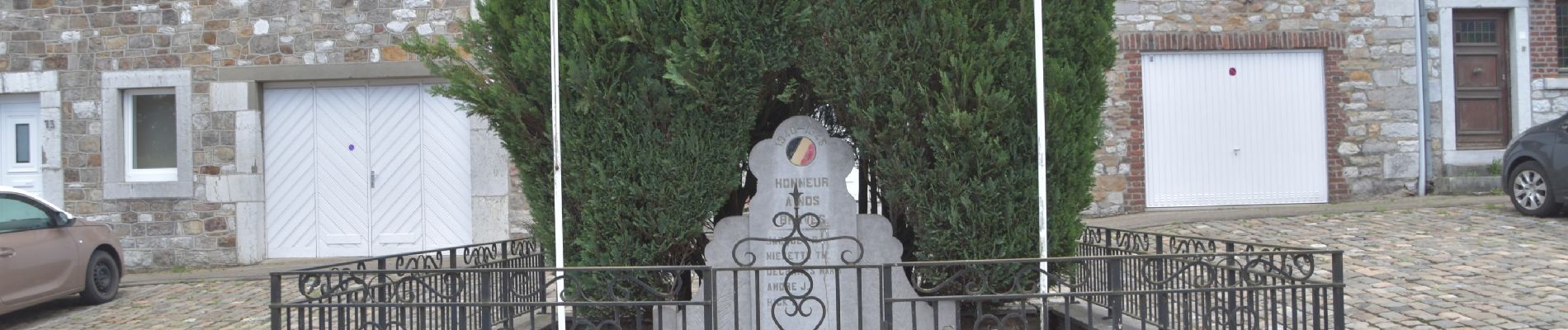
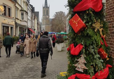
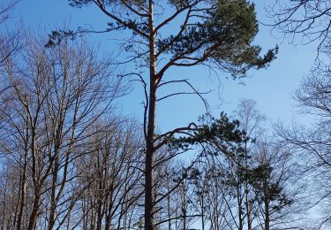
33 photos au total. Cliquez sur une photo pour les afficher toutes dans la galerie.

Marche

Marche

Marche
Marche

Marche

Marche
Marche
Marche
Marche