


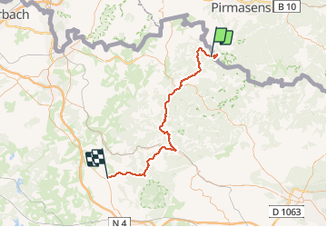

13 km | 16,1 km-effort

Utilisateur


Application GPS de randonnée GRATUITE
 SityTrail
IGN / Instituts géographiques
SityTrail World
Le monde est à vous
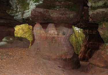
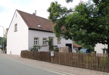
Randonnée Marche de 63 km à découvrir à Grand Est, Moselle, Roppeviller. Cette randonnée est proposée par fredodlageo.
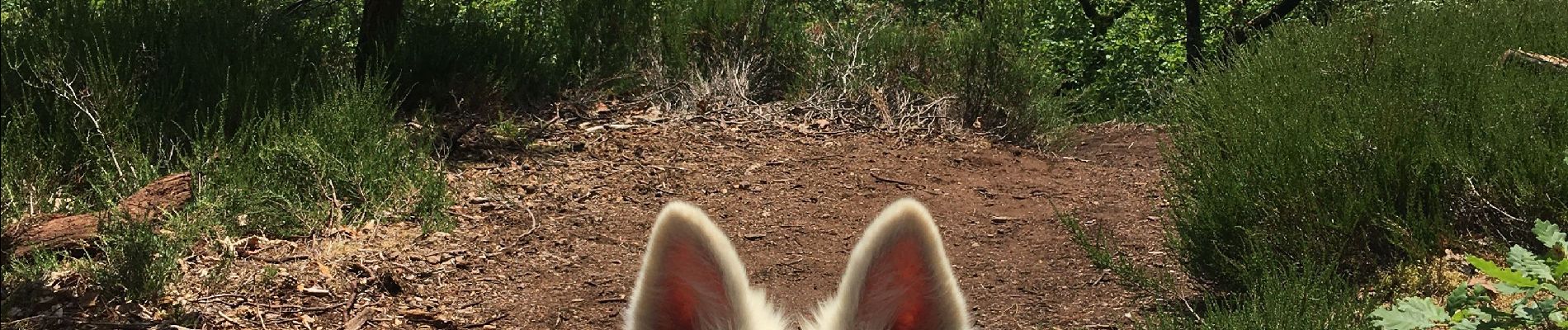
#Rando canyon #Audrey#Anais#Izzie#karamel


Marche

A pied
A pied
A pied
A pied
A pied
A pied
A pied
A pied