

marais-lasne

neoroll44
Utilisateur

Longueur
11,6 km

Altitude max
22 m

Dénivelé positif
58 m

Km-Effort
12,4 km

Altitude min
-5 m

Dénivelé négatif
58 m
Boucle
Oui
Date de création :
2020-07-14 14:08:32.145
Dernière modification :
2020-07-14 15:13:30.256
2h46
Difficulté : Difficile

Application GPS de randonnée GRATUITE
À propos
Randonnée Marche de 11,6 km à découvrir à Bretagne, Morbihan, Saint-Armel. Cette randonnée est proposée par neoroll44.
Description
Retrouvez ce circuit dans le topoguide de Randonnée de la Presqu'île de Rhuys disponible dans les offices de tourisme de Sarzeau, Arzon, Saint Gildas et St Colombier. (18 circuits)http://www.rhuys.com/balades-rando-golfe-du-morbihan.php
Localisation
Pays :
France
Région :
Bretagne
Département/Province :
Morbihan
Commune :
Saint-Armel
Localité :
Unknown
Départ:(Dec)
Départ:(UTM)
520528 ; 5268416 (30T) N.
Commentaires
Randonnées à proximité

Tour du Golfe du Morbihan - 04 - St Armel, Le Hézo


Marche
Difficile
(1)
Saint-Armel,
Bretagne,
Morbihan,
France

16,6 km | 17,6 km-effort
4h 0min
Non

Île TASCON- Le Passage 56


Marche
Facile
(1)
Saint-Armel,
Bretagne,
Morbihan,
France

11,5 km | 12,1 km-effort
2h 31min
Oui

St Armel en passant par l'Ile de Tason (Boucle)


Marche
Moyen
(3)
Saint-Armel,
Bretagne,
Morbihan,
France

20 km | 22 km-effort
4h 49min
Oui
PR_56_Sarzeau_HA_08_Circuit1b_Les-Parcs-Ostreicoles_20240407


Marche
Très facile
Sarzeau,
Bretagne,
Morbihan,
France

8,2 km | 9,2 km-effort
2h 5min
Oui
PR_56_Sarzeau_EA_05_Circuit1b_Au-Coeur-De-La-Foret_20240202


Marche
Très facile
Sarzeau,
Bretagne,
Morbihan,
France

12,3 km | 13,2 km-effort
3h 0min
Oui
PR_56_St-Armel_AA_01_Circuit1b_Le-Marais-Salant-De-Lasne_20231222


Marche
Très facile
Saint-Armel,
Bretagne,
Morbihan,
France

12,6 km | 13,4 km-effort
2h 39min
Oui
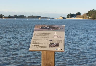
PR_56_Sene_HA_08_Circuit3a_Du-Passage_20231205


Marche
Moyen
Séné,
Bretagne,
Morbihan,
France

8,5 km | 9,7 km-effort
1h 47min
Oui
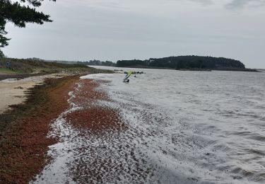
PR_56_Sene_DA_04_Circuit3b_De-La-Pointe-Du-Bill_20221231


Marche
Très facile
Séné,
Bretagne,
Morbihan,
France

7,3 km | 7,9 km-effort
1h 37min
Oui
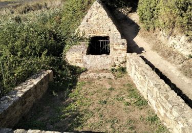
56-St-Colombier-Ludré-Duer-10km


Marche
Facile
Saint-Armel,
Bretagne,
Morbihan,
France

9,6 km | 10,3 km-effort
2h 58min
Oui


 SityTrail


