


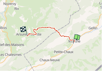

9,1 km | 12,5 km-effort

Utilisateur


Application GPS de randonnée GRATUITE
 SityTrail
IGN / Instituts géographiques
SityTrail World
Le monde est à vous
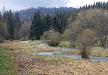
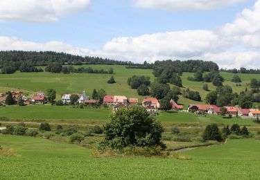
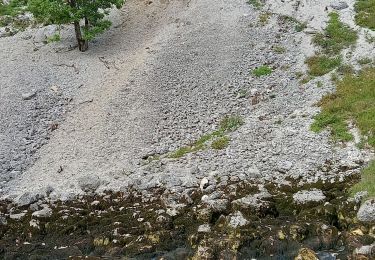
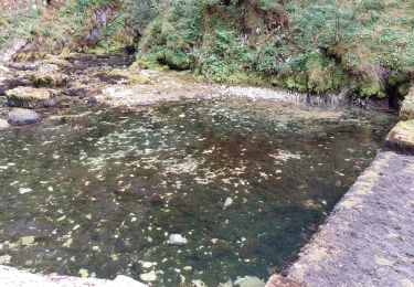
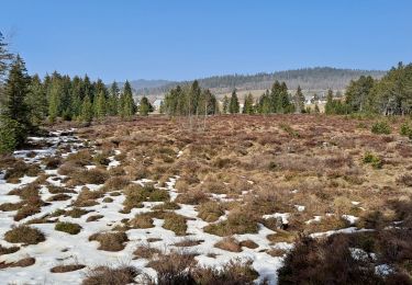
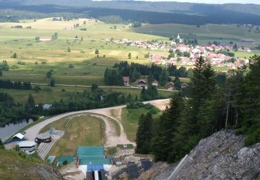
Randonnée Marche de 14,6 km à découvrir à Bourgogne-Franche-Comté, Doubs, Mouthe. Cette randonnée est proposée par annefrance70.


Marche

Marche
Marche
A pied
A pied
Marche
Marche
Marche
Marche