


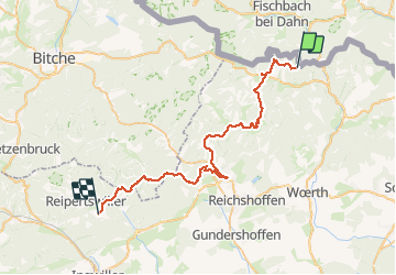

15,6 km | 25 km-effort

Utilisateur


Application GPS de randonnée GRATUITE
 SityTrail
IGN / Instituts géographiques
SityTrail World
Le monde est à vous
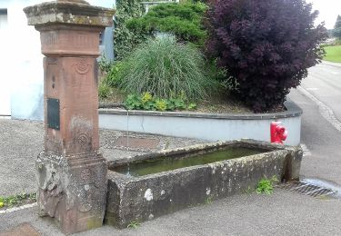
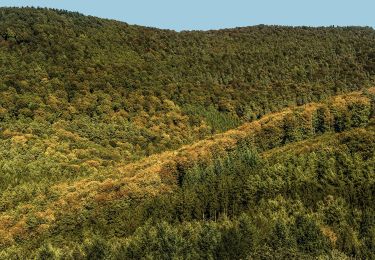
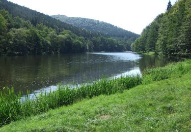
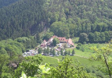
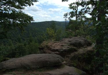
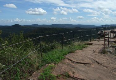
Randonnée Marche de 47 km à découvrir à Grand Est, Bas-Rhin, Niedersteinbach. Cette randonnée est proposée par Regisconraud.


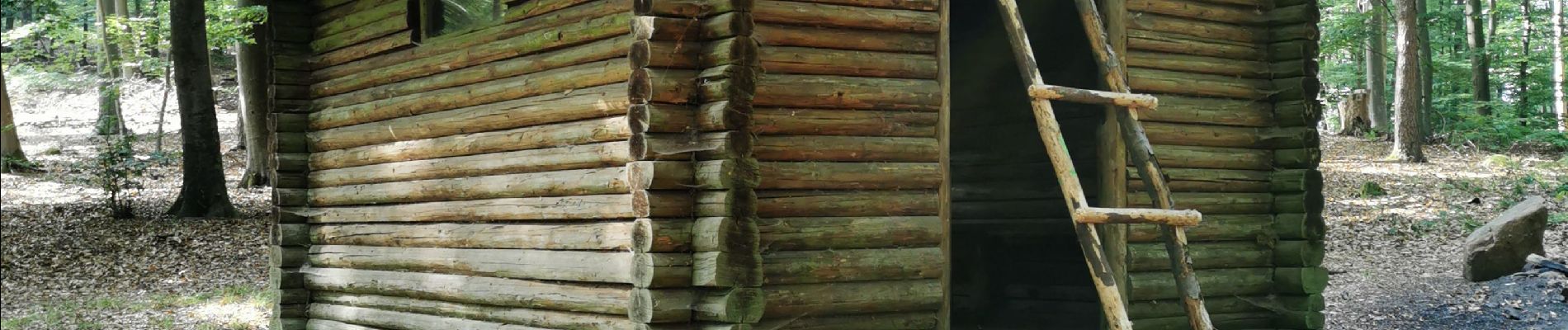
Marche
A pied
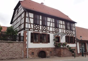
A pied
A pied
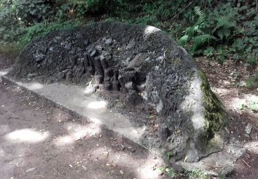
A pied