


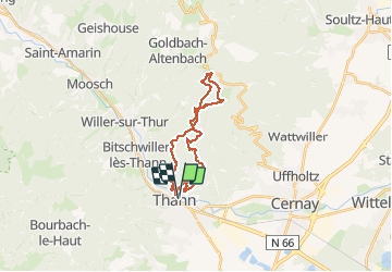


33 km | 64 km-effort

Utilisateur


Application GPS de randonnée GRATUITE
 SityTrail
IGN / Instituts géographiques
SityTrail World
Le monde est à vous
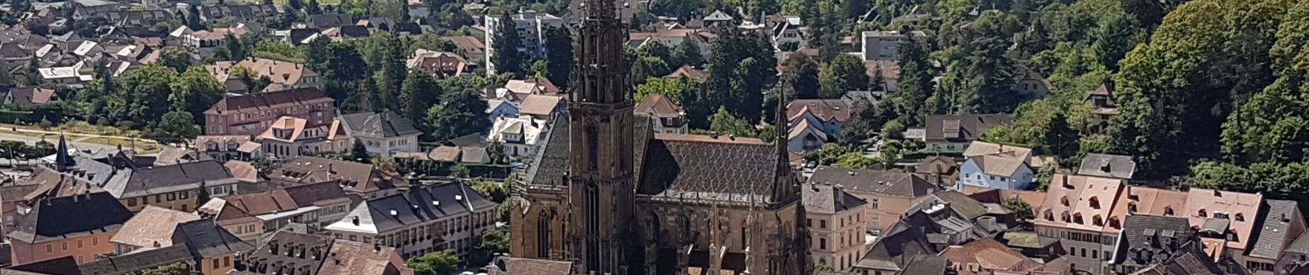
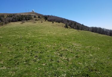
Randonnée Marche de 23 km à découvrir à Grand Est, Haut-Rhin, Thann. Cette randonnée est proposée par Bart2015.
Belle balade, passage impératif au rocher d'Ostein : banc romantique avec vue sur Grand Ballon.
Bonne randonnée


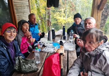
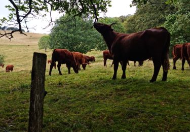
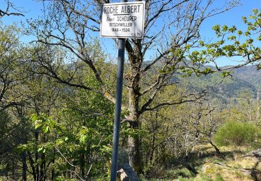
32 photos au total. Cliquez sur une photo pour les afficher toutes dans la galerie.

Autre activité

Marche

Marche

A pied
Marche
Marche
Marche
Marche
Marche