


22 km | 28 km-effort

Destination Condroz-Famenne- une nature préservée PRO


Application GPS de randonnée GRATUITE
 SityTrail
IGN / Instituts géographiques
SityTrail World
Le monde est à vous
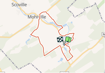
Randonnée Marche de 7,9 km à découvrir à Wallonie, Namur, Hamois. Cette randonnée est proposée par Vallées des Saveurs - Maison du Tourisme Condroz-Famenne.
Les incontournables:
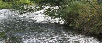
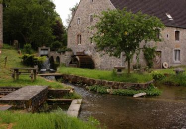
- La source du Bocq
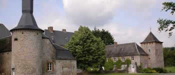
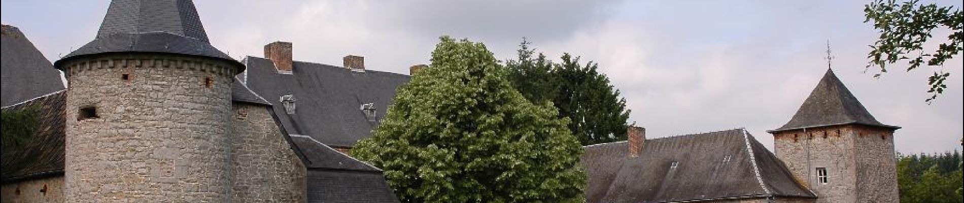
- Le Château Sans-Soucis
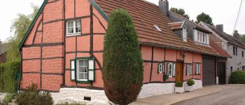
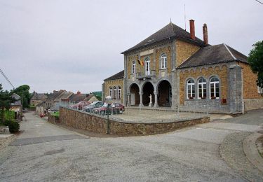
- La Maison Rose
- Le Château de Ry
- L'Ancien Moulin de Scy et ses étangs
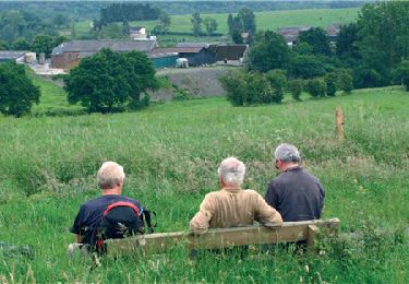
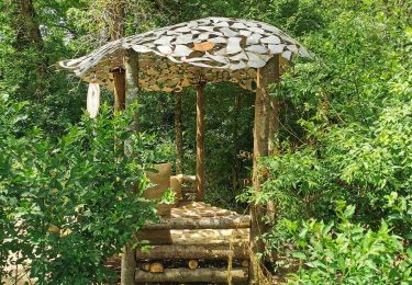
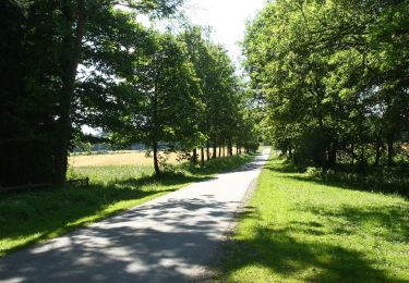
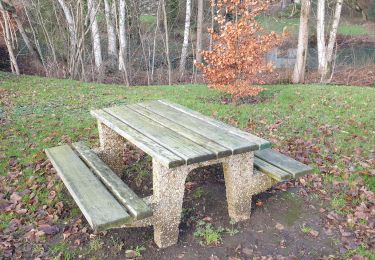
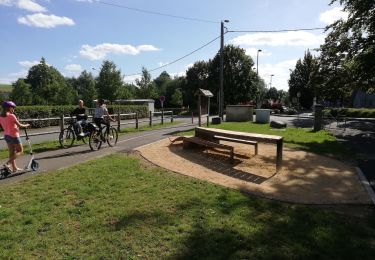
- Promenade du Berceau du Bocq - Photo 1")
- Promenade du Berceau du Bocq - Photo 2")
- Promenade du Berceau du Bocq - Photo 3")
- Promenade du Berceau du Bocq - Photo 4")
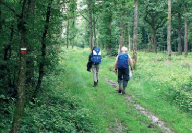
Marche
Marche
A pied
Marche
Marche
Marche
Marche

A pied
A pied
très belle balade
Agreable, belle region.
Probablement une des plus jolies balades sur Hamois. Super aussi sous la neige.
très joli circuit, mais pas réussi à voir le moulin ni la source du Bocq
bois et chemins de camoagne avec paysage des villages avoisinant.
bois et chemins de camoagne avec paysage des villages avoisinant.