


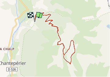

10,6 km | 19,3 km-effort


Utilisateur


Application GPS de randonnée GRATUITE
 SityTrail
IGN / Instituts géographiques
SityTrail World
Le monde est à vous
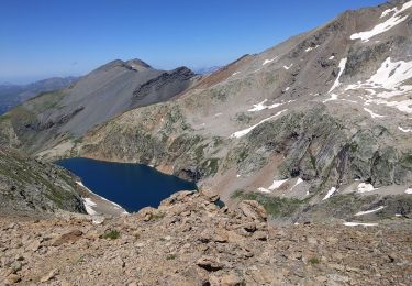
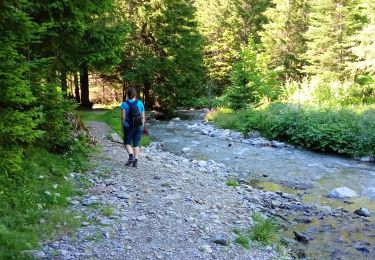
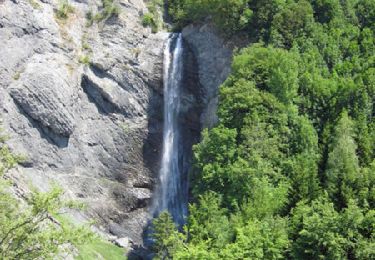
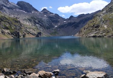
Randonnée Marche de 12,5 km à découvrir à Auvergne-Rhône-Alpes, Isère, Chantepérier. Cette randonnée est proposée par Emelle.
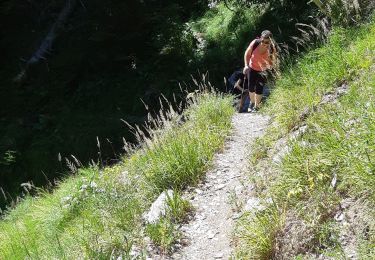
Une partie hors sentier balisé
Randonnée qui demande une certaine endurance.
Très beau panorama au sommet.
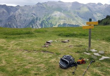
Marche
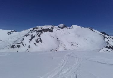
Ski de randonnée
Marche
Marche
Marche
Marche

Course à pied
Marche
Marche