


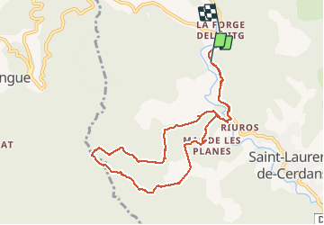

11,8 km | 16,9 km-effort

Utilisateur


Application GPS de randonnée GRATUITE
 SityTrail
IGN / Instituts géographiques
SityTrail World
Le monde est à vous
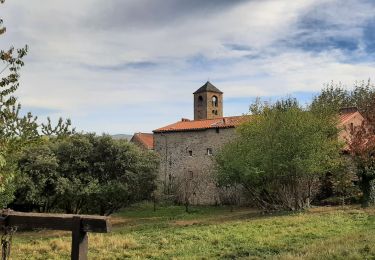
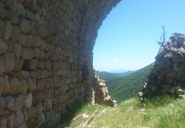
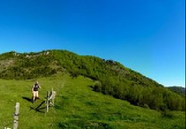
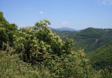
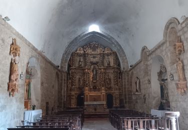
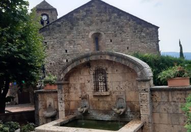
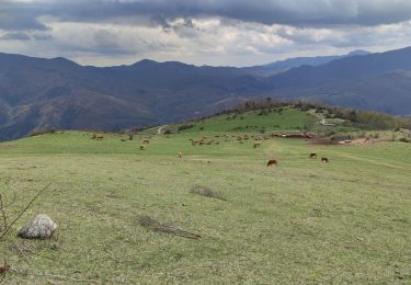
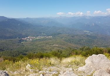
Randonnée Marche de 10,2 km à découvrir à Occitanie, Pyrénées-Orientales, Saint-Laurent-de-Cerdans. Cette randonnée est proposée par peillo.
Journée 1


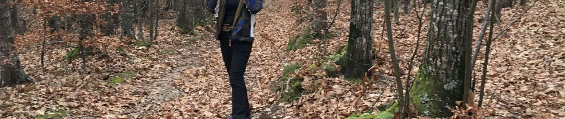
Marche
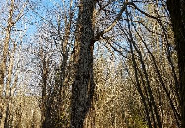
Marche
Marche
Marche
V.T.T.
Marche
Marche
Marche
Marche