


11,6 km | 18,7 km-effort
Pyrénées-Orientales : découvrez les meilleures randonnées : 4 663 pédestres, 605 à vélo ou VTT et 44 parcours équestres. Tous ces circuits, parcours, itinéraires et activités en plein air sont disponibles dans nos applications SityTrail pour smartphones et tablettes.
V.T.T.


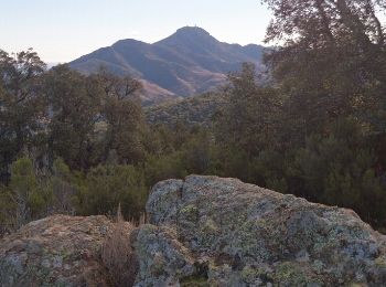
Marche
• Port-Vendres est le point de départ idéal pour de formidables excursions à pieds ou en V.T.T. En effet, sur les haute...
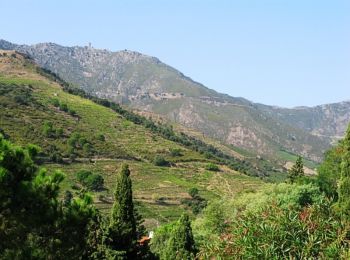
Marche
• en fait la bataille très bien expliquée on s en fout ... ce qui vaut la peine ce sont les paysages 😄

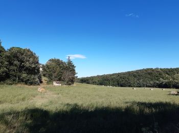
Marche
Marche
Quad
• Parcours d une durée moyenne de 1h45 a allure normal
Marche
Marche
Marche
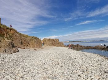
• Randonnée sur le sentier du littoral assez facile.
Marche
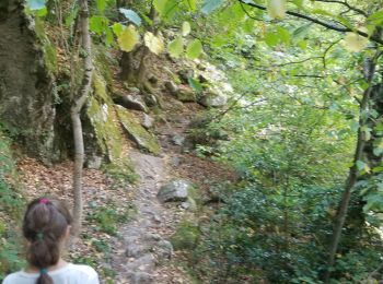
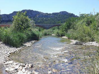
• tres.beau parcours le long du cady qui.nous enchante de sa musique en cascade...chemin ombrage parsemés de pierres qu...
Marche
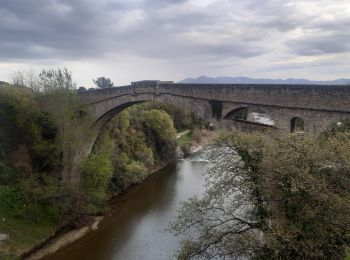
• Sentier de randonnée balisé en jaune au départ de Tautavel qui longe le ruisseau du Verdouble jusqu'aux gorges de Gou...
Marche
• rando pour famille
Marche
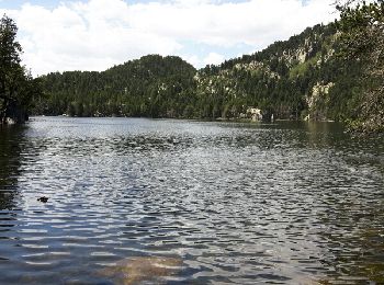
• Beau parcours mais attention entre l'Estany Llarg et l'Estany Negre le Gps était éteint mais le sentier est bien bali...
Marche
• Une belle randonnée pas difficile
Marche
• Ballade agréable en parcours ombrage. Aucune difficulté

Marche
• Rando proposée par Tourisme Pyrénées orientale. A découvrir: Vivès village typique des Aspres, vues grandioses sur le...

Marche
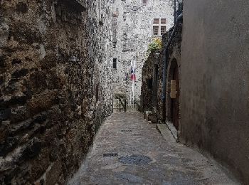
• 66 LAROQUE DES ALBERES (maison) place des Vernédes, av. du Roussillon, rue de Roca-Vella, mas PEYRE, chapelle St fruc...
Marche
• site conseil general 66. Belle randonnée en grande partie en sous bois
Marche
• Chemin de Nahuja au refuge et retour avec une vue splendide tout au long de la descente qui se termine par un petit r...
Moteur
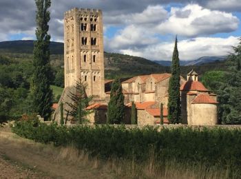
• Route touristique au départ de Ste Marie de Cuxa, direction Font Romeu, arrêt à Villefranche de Conflent pour une pro...
20 randonnées affichées sur 5817
Application GPS de randonnée GRATUITE
 SityTrail
IGN / Instituts géographiques
SityTrail World
Le monde est à vous