


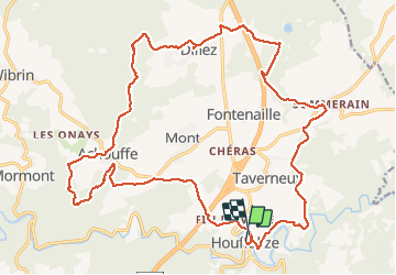


22 km | 29 km-effort

Utilisateur GUIDE


Application GPS de randonnée GRATUITE
 SityTrail
IGN / Instituts géographiques
SityTrail World
Le monde est à vous
Randonnée Marche de 25 km à découvrir à Wallonie, Luxembourg, Houffalize. Cette randonnée est proposée par rvapeldo.
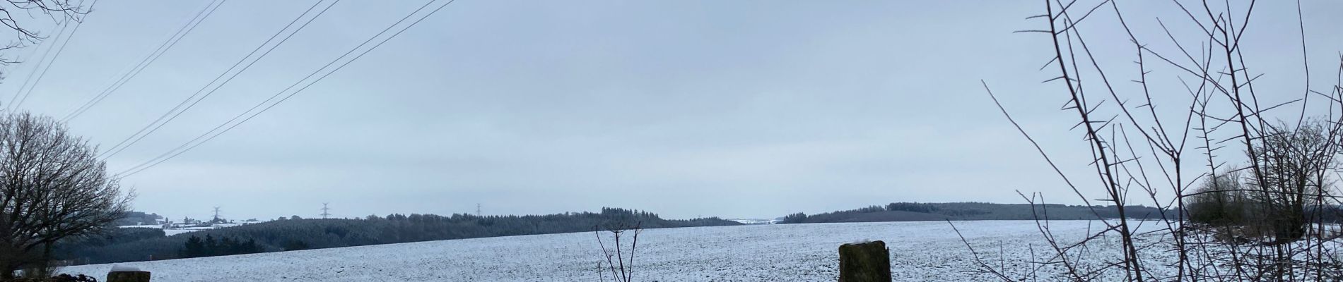
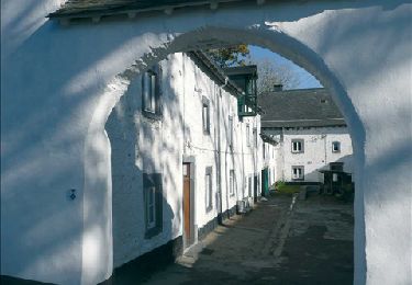
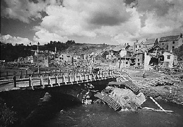
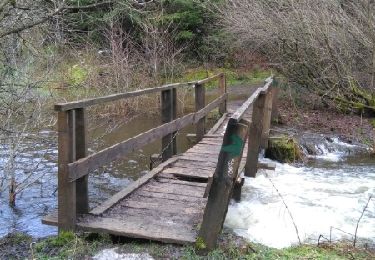
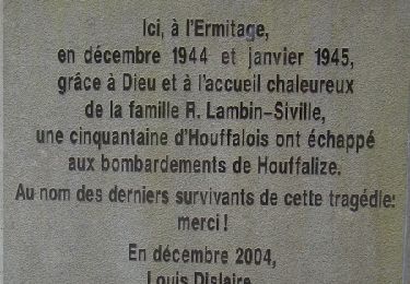
Belle boucle au départ de Houffalize, passant par Achouffe, avec de jolis passages notamment dans la vallée des castors le long de l’Eau de Martin Moulin.


32 photos au total. Cliquez sur une photo pour les afficher toutes dans la galerie.
Marche
Marche
Marche
Marche
Marche
Marche
Marche
Marche

Marche
Plutôt 26km, plutôt moyen à difficile mais superbe randonnée avec des paysages variés.