Randonnée Raquettes à neige Pontarlier - Pontarlier Gounfay Grand Taureau 2021-01-19 CAF - Photo

Pontarlier Gounfay Grand Taureau 2021-01-19 CAF

 TRIMAILLE
TRIMAILLE

Utilisateur

© OpenStreetMap contributors
Longueur
Longueur
9,5 km
Altitude max
Altitude max
1318 m
Dénivelé positif
Dénivelé positif
250 m
Km-Effort
Km-Effort  
12,8 km
Altitude min
Altitude min
1107 m
Dénivelé négatif
Dénivelé négatif
245 m
Boucle
Boucle
Oui
Date de création :
2021-01-19 08:45:36.565
Dernière modification :
2021-01-20 08:13:04.163

(0 Avis)

Raquettes à neige
Raquettes à neige
3h16
Difficulté : Moyen

Scannez ce code QR pour ouvrir la randonnée dans l'application SityTrail

Application GPS de randonnée GRATUITE

Logo SityTrail SityTrail

IGN / Instituts géographiques

Télécharger SityTrail sur l'App Store Télécharger SityTrail sur Google Play

Logo SityTrail SityTrail World

Le monde est à vous

Télécharger SityTrail sur l'App Store Télécharger SityTrail sur Google Play Télécharger SityTrail sur Huawei AppGallery

À propos

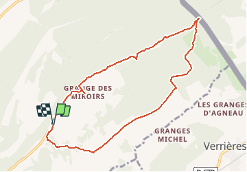
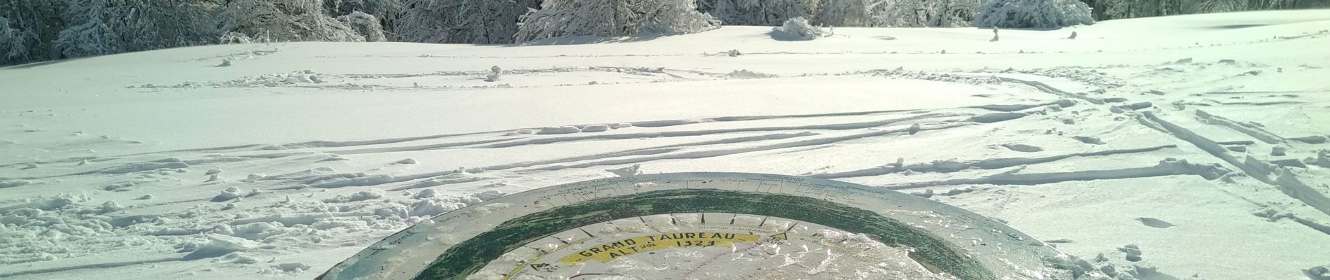
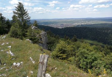
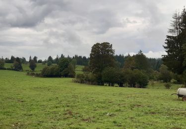
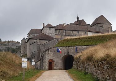
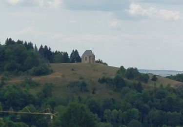
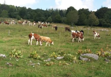
Randonnée Raquettes à neige de 9,5 km à découvrir à Bourgogne-Franche-Comté, Doubs, Pontarlier. Cette randonnée est proposée par TRIMAILLE.

Description

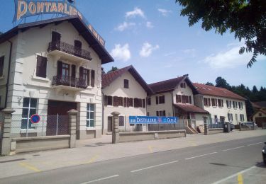
Départ du parking du Gounfay.

Profil altimétrique

Photos

Localisation

Pays :
France
Région :
Bourgogne-Franche-Comté
Département/Province :
Doubs
Commune :
Pontarlier
Localité :
Unknown
Départ:(UTM)
302235 ; 5197376 (32T) N.

Randonnées à proximité

Randonnée V.T.T. Pontarlier - favrotte 2013 - Photo
V.T.T.
Erik25

V.T.T.

Moyen
(2)
Pontarlier, Bourgogne-Franche-Comté, Doubs, France
40 km | 53 km-effort
3h 42min
Oui
Randonnée Marche La Cluse-et-Mijoux - le grand taureau, la Cluse et Mijoux - Photo
Marche
eltonnermou

Marche

Moyen
La Cluse-et-Mijoux, Bourgogne-Franche-Comté, Doubs, France
24 km | 34 km-effort
5h 26min
Oui
Randonnée Marche Pontarlier - le grand taureau, Pontarlier - Photo
Marche
eltonnermou

Marche

Difficile
Pontarlier, Bourgogne-Franche-Comté, Doubs, France
20 km | 29 km-effort
3h 36min
Oui
Randonnée Marche Pontarlier - le grand taureau - Photo
Marche
GUILLETCORDIER

Marche

Moyen
Pontarlier, Bourgogne-Franche-Comté, Doubs, France
8,8 km | 12,1 km-effort
2h 38min
Oui
Randonnée Marche La Cluse-et-Mijoux - GTJ 2 La Cluse et Mijoux, Metabief - Photo
Marche
Praff

Marche

Moyen
La Cluse-et-Mijoux, Bourgogne-Franche-Comté, Doubs, France
21 km | 29 km-effort
6h 18min
Non
Randonnée Marche Pontarlier - GTJ 1 Pontarlier, La Cluse et Mijoux - Photo
Marche
Praff

Marche

Facile
Pontarlier, Bourgogne-Franche-Comté, Doubs, France
10,8 km | 15,6 km-effort
3h 14min
Non
Randonnée Marche Pontarlier - FORT MALHER DEPUIS LE CAMPING DU LARMONT - Photo
Marche
walrou63

Marche

Difficile
Pontarlier, Bourgogne-Franche-Comté, Doubs, France
10 km | 14,5 km-effort
2h 30min
Oui
Randonnée Marche Pontarlier - boucle autour du mont taureau - Photo
Marche
fab0202

Marche

Facile
Pontarlier, Bourgogne-Franche-Comté, Doubs, France
9,3 km | 12,6 km-effort
2h 23min
Oui
Randonnée Marche Pontarlier - Pontarlier jour 3 - Photo
Marche
legios84

Marche

Facile
Pontarlier, Bourgogne-Franche-Comté, Doubs, France
11,8 km | 15,6 km-effort
2h 9min
Oui


Fermer
Mes abonnements