


9,6 km | 14 km-effort


Utilisateur


Application GPS de randonnée GRATUITE
 SityTrail
IGN / Instituts géographiques
SityTrail World
Le monde est à vous
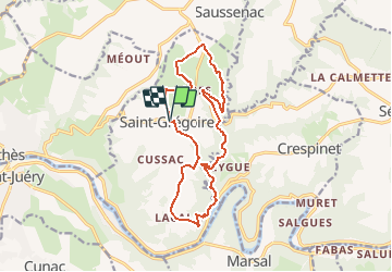
Randonnée Marche de 15,9 km à découvrir à Occitanie, Tarn, Saint-Grégoire. Cette randonnée est proposée par jab31.
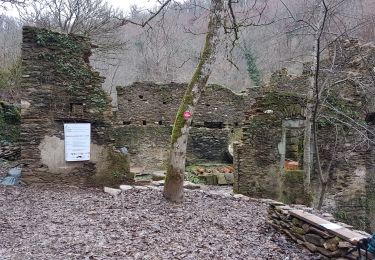
Du plateau du Ségala au château de Labastide-Vassals et le bord du Lézert.
Marche
Marche
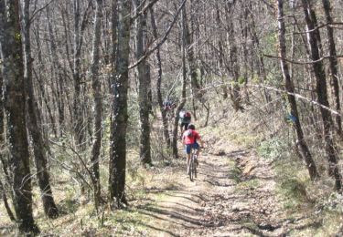
V.T.T.

Marche
Marche

Course à pied
Marche