


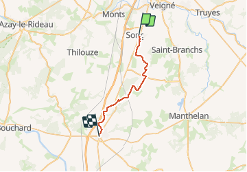


13,7 km | 15 km-effort

Utilisateur


Application GPS de randonnée GRATUITE
 SityTrail
IGN / Instituts géographiques
SityTrail World
Le monde est à vous
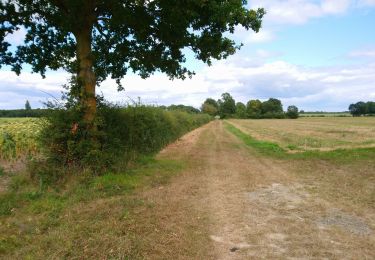
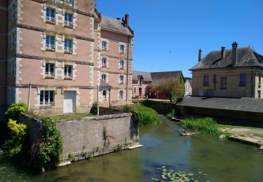
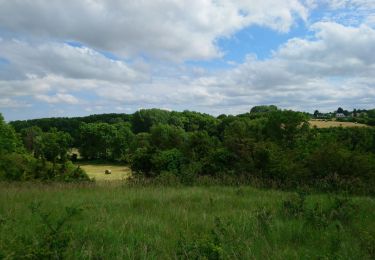
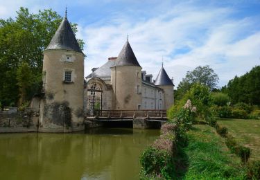
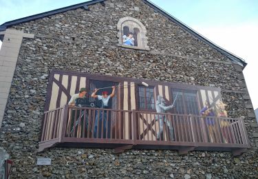
Randonnée Marche de 25 km à découvrir à Centre-Val de Loire, Indre-et-Loire, Sorigny. Cette randonnée est proposée par jeff2.
Sorigny St maure de Touraine


Marche
Marche

Marche
Marche
Marche
Marche
Marche
Marche
Marche