


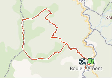

11,2 km | 16 km-effort


Utilisateur


Application GPS de randonnée GRATUITE
 SityTrail
IGN / Instituts géographiques
SityTrail World
Le monde est à vous
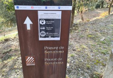
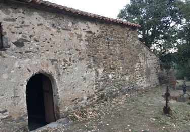
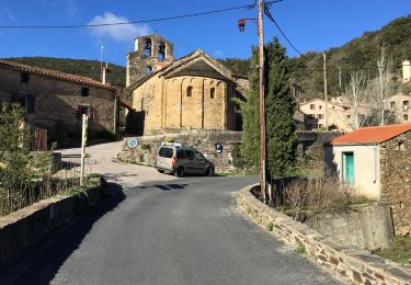
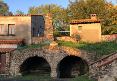
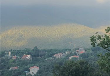
Randonnée Marche de 13,4 km à découvrir à Occitanie, Pyrénées-Orientales, Boule-d'Amont. Cette randonnée est proposée par ThonyM.
Quelques petites ascensions bines pour les jambes ...


Marche

Marche
Marche
Marche
Marche
Marche
Marche
Marche
Marche