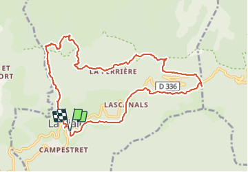

17,7 km | 25 km-effort

Utilisateur


Application GPS de randonnée GRATUITE
 SityTrail
IGN / Instituts géographiques
SityTrail World
Le monde est à vous
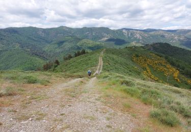
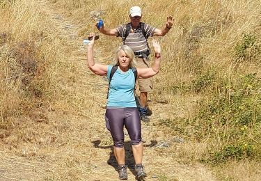
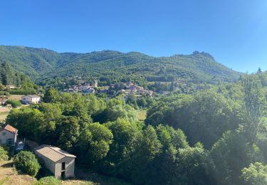
Randonnée Marche de 11,8 km à découvrir à Occitanie, Gard, Aumessas. Cette randonnée est proposée par Christiancordin.
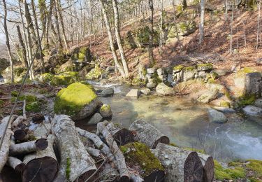
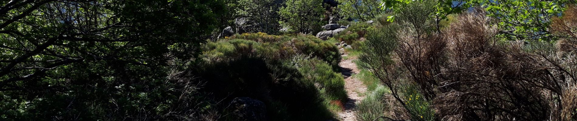
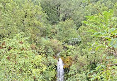
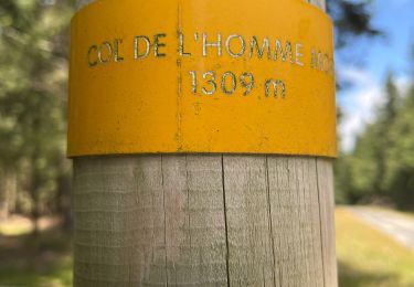
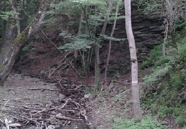
Aumessas-ruisseau d'Albargne-les Vernèdes-la Pélucarie-Le Caladon-col de Mouzoulès-menhirs-le Cambon-Aumessas.


Marche
Marche
Marche

V.T.T.