


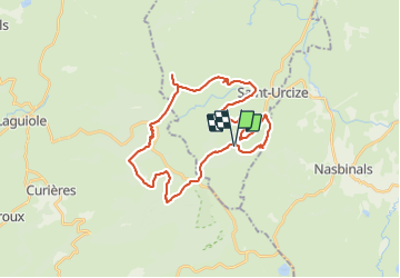

11 km | 15,4 km-effort


Utilisateur


Application GPS de randonnée GRATUITE
 SityTrail
IGN / Instituts géographiques
SityTrail World
Le monde est à vous
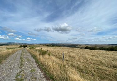
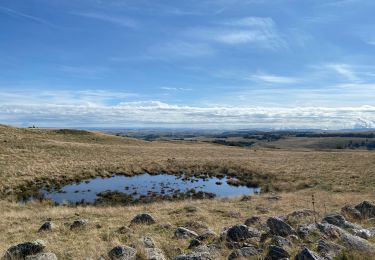
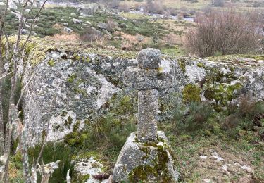
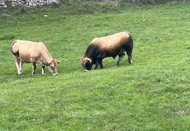
Randonnée V.T.T. de 32 km à découvrir à Auvergne-Rhône-Alpes, Cantal, Saint-Urcize. Cette randonnée est proposée par 82240gerard.
rando vtt
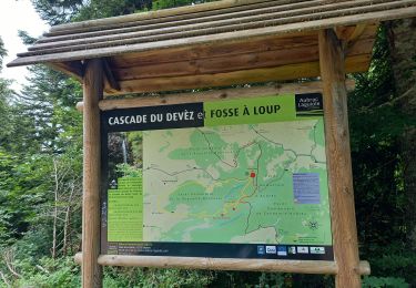
Marche
A pied
Marche
Marche
Marche
Marche
Marche
Marche
Marche