


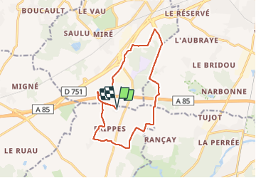

22 km | 26 km-effort

Utilisateur GUIDE


Application GPS de randonnée GRATUITE
 SityTrail
IGN / Instituts géographiques
SityTrail World
Le monde est à vous
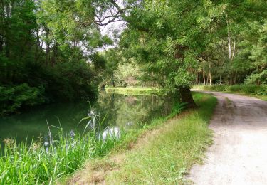
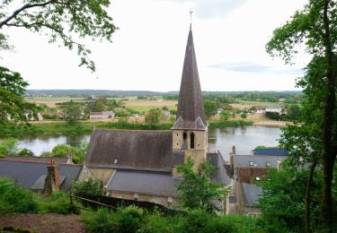
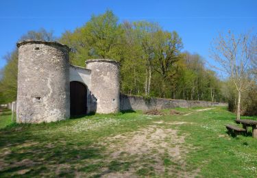
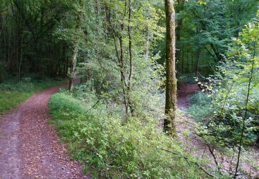
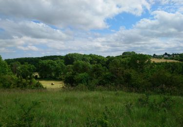
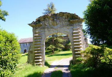
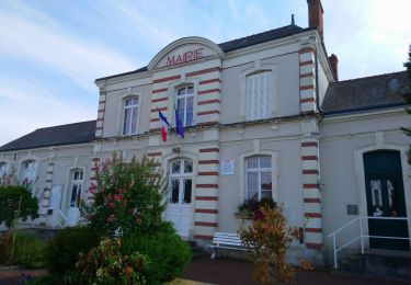
Randonnée Marche de 14,5 km à découvrir à Centre-Val de Loire, Indre-et-Loire, Artannes-sur-Indre. Cette randonnée est proposée par Orcal37.
Artannes-sur-Indre - la Mânerie - GRP PR - 14.5km 100m 3h00 - 2021 06 05


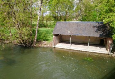
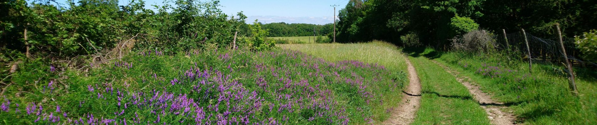
Marche
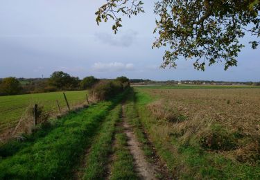
Marche
Marche
Marche
Marche
Marche
Marche
Marche
Marche