


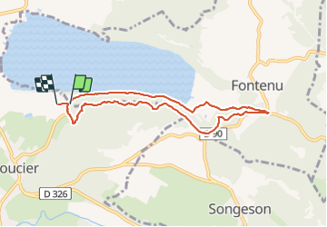


14,5 km | 20 km-effort

Utilisateur


Application GPS de randonnée GRATUITE
 SityTrail
IGN / Instituts géographiques
SityTrail World
Le monde est à vous
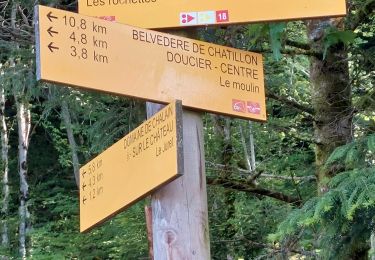
Randonnée Marche de 7,6 km à découvrir à Bourgogne-Franche-Comté, Jura, Doucier. Cette randonnée est proposée par Marie-Claire-mcp.
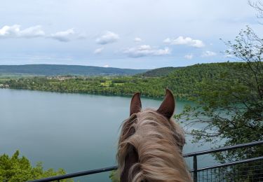
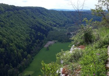
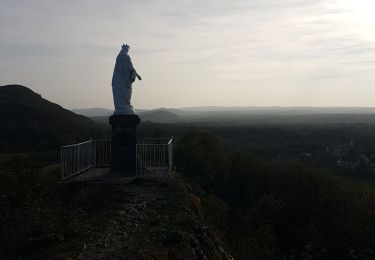
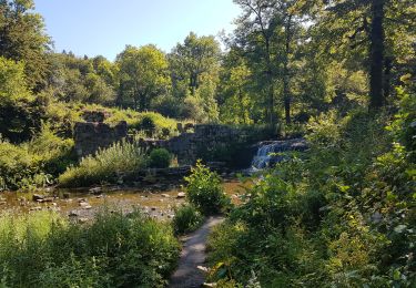
départ du lac de chalain, camping puis chemin des 4 Belvédères


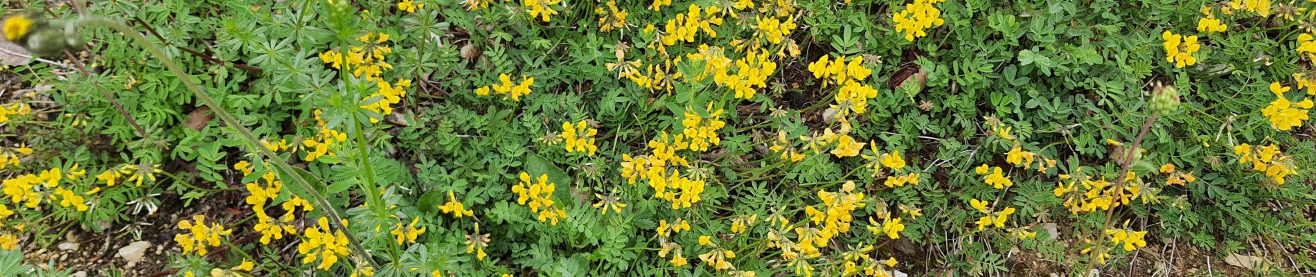
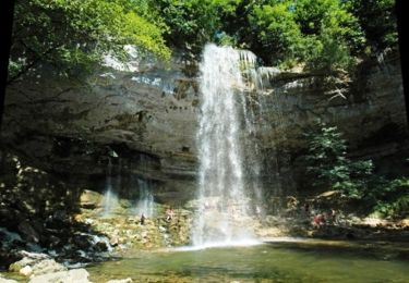
52 photos au total. Cliquez sur une photo pour les afficher toutes dans la galerie.

Marche

Marche
V.T.T.
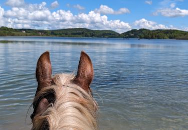
Randonnée équestre
Randonnée équestre
Marche
Marche
Marche
Marche