


13,1 km | 14,7 km-effort

Utilisateur


Application GPS de randonnée GRATUITE
 SityTrail
IGN / Instituts géographiques
SityTrail World
Le monde est à vous
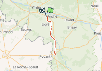
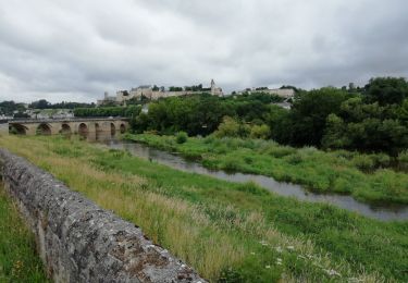
Randonnée V.T.T. de 35 km à découvrir à Centre-Val de Loire, Indre-et-Loire, Ligré. Cette randonnée est proposée par SyMA.
Belle rando tres facile par voie Chinon-Richelieu (ancienne voie ferrée)
Richelieu trés belle ville


Marche

Marche

V.T.T.
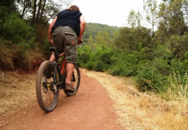
V.T.T.

Marche
V.T.T.

Vélo
Marche
Marche