


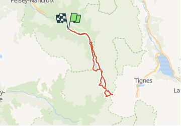

9,6 km | 20 km-effort

Utilisateur


Application GPS de randonnée GRATUITE
 SityTrail
IGN / Instituts géographiques
SityTrail World
Le monde est à vous
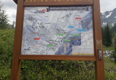
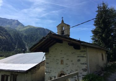
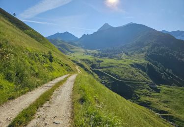
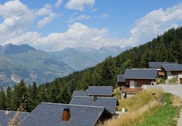
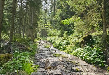
Randonnée Marche de 24 km à découvrir à Auvergne-Rhône-Alpes, Savoie, Peisey-Nancroix. Cette randonnée est proposée par flip38.
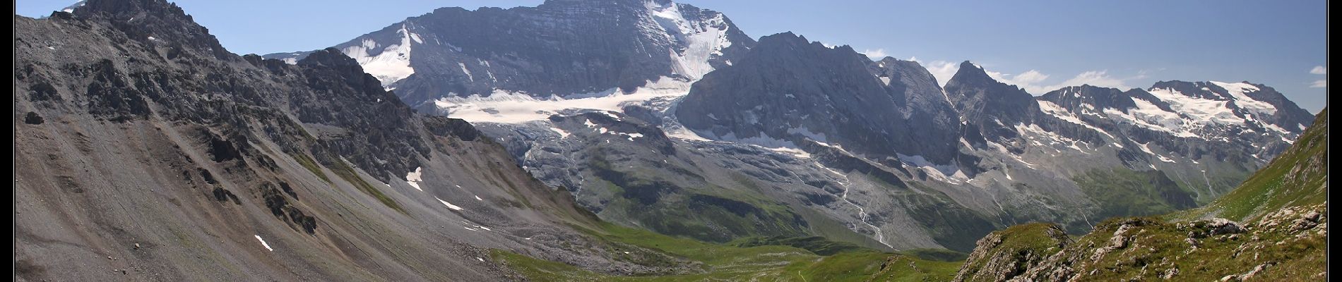
Randonnée longue et une bonne dénivelée mais sans difficuté technique.
Descente hors sentier du col de la Croix des Frêtes sur le lac du Grattaleu à n'entreprendre que par temps dégagé.
D'autres informations sur mon site : http://surlessommets.blog.free.fr/


A pied
Marche

Marche
Marche
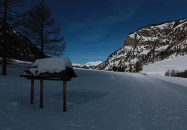
Raquettes à neige
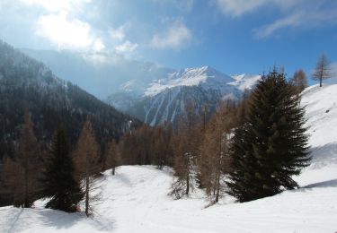
Raquettes à neige
Marche
Marche
Marche