


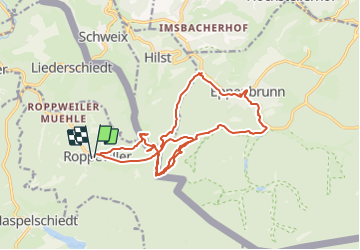

13 km | 16,1 km-effort


Utilisateur


Application GPS de randonnée GRATUITE
 SityTrail
IGN / Instituts géographiques
SityTrail World
Le monde est à vous
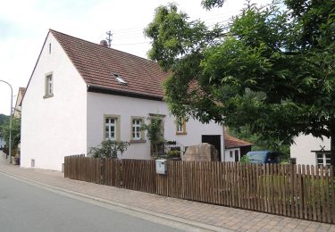
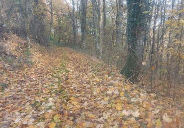
Randonnée Marche de 18,5 km à découvrir à Grand Est, Moselle, Roppeviller. Cette randonnée est proposée par DanielROLLET.
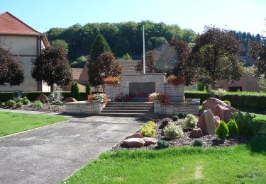
2021 08 16 Rando - 9h45 à 16h30
MJ, Henri, Emmanuelle, Francis, MM et moi.
Temps couvert et frais

Marche

A pied
A pied
A pied
A pied
A pied
A pied
A pied
Marche