


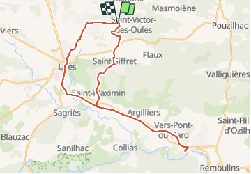

18,2 km | 22 km-effort


Utilisateur


Application GPS de randonnée GRATUITE
 SityTrail
IGN / Instituts géographiques
SityTrail World
Le monde est à vous
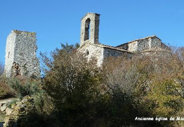
Randonnée V.T.C. de 39 km à découvrir à Occitanie, Gard, Saint-Victor-des-Oules. Cette randonnée est proposée par Dan30.
Marche

Marche

Marche

Marche
Marche

V.T.T.

V.T.T.
Marche
Marche