


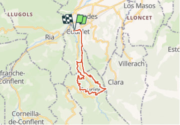

13,5 km | 17,2 km-effort

Utilisateur


Application GPS de randonnée GRATUITE
 SityTrail
IGN / Instituts géographiques
SityTrail World
Le monde est à vous
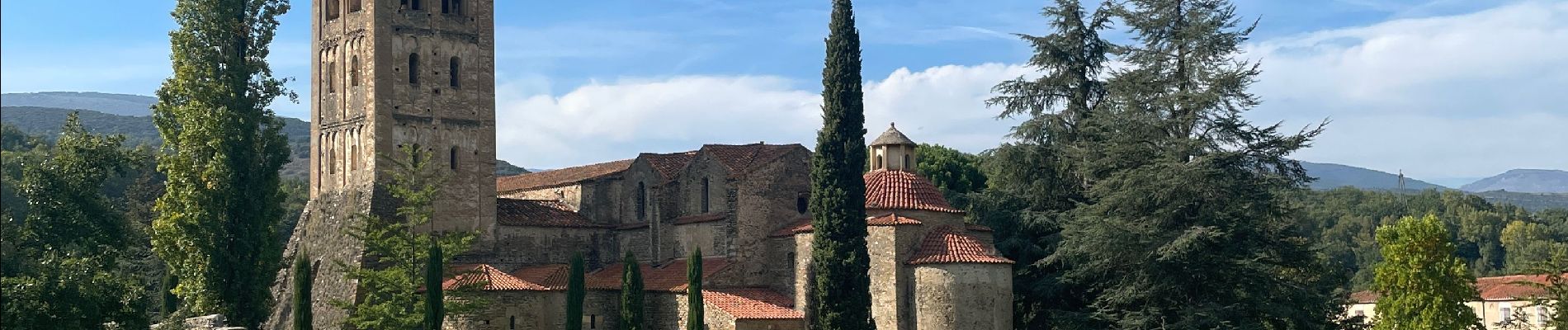
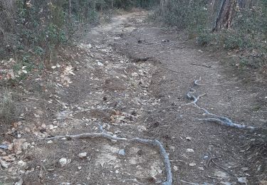
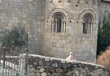
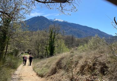
Randonnée Marche de 14,2 km à découvrir à Occitanie, Pyrénées-Orientales, Prades. Cette randonnée est proposée par ombrabella.
Boucle


Marche

Moteur

V.T.T.
Marche
Marche
Marche
Marche
Marche
Marche