


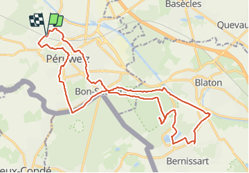

6 km | 7,1 km-effort


Utilisateur


Application GPS de randonnée GRATUITE
 SityTrail
IGN / Instituts géographiques
SityTrail World
Le monde est à vous
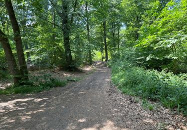
Randonnée Marche de 22 km à découvrir à Wallonie, Hainaut, Péruwelz. Cette randonnée est proposée par jeangulu.
Point de départ : Ecole communale de la Roe - Rue des écoles , 77 - 7600 _ PERUWELZ
Organisateur : LG 018 - MARCHEURS DU VAL DE VERNE DE PERUWELZ


Marche

Marche

Marche
Marche

Cheval

V.T.T.
A pied

A pied
Marche