


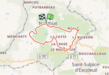

7,7 km | 10 km-effort


Utilisateur


Application GPS de randonnée GRATUITE
 SityTrail
IGN / Instituts géographiques
SityTrail World
Le monde est à vous
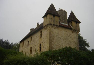
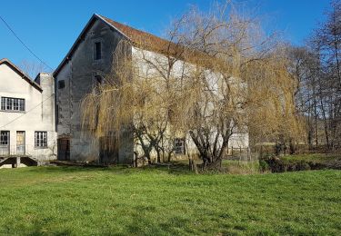
Randonnée Marche de 7,1 km à découvrir à Nouvelle-Aquitaine, Dordogne, Nanthiat. Cette randonnée est proposée par Patricew.
facile et panoramique,un peu de route.
Marche
Marche

Marche
Marche
Marche
Marche
Marche
Marche
Marche