


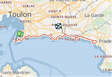

11,8 km | 19,3 km-effort

Utilisateur GUIDE


Application GPS de randonnée GRATUITE
 SityTrail
IGN / Instituts géographiques
SityTrail World
Le monde est à vous
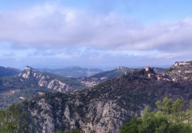
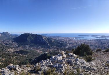
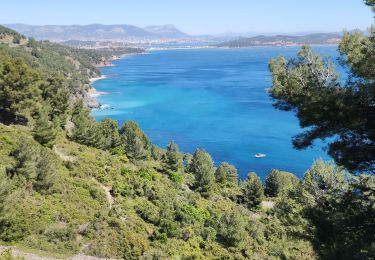
Randonnée Marche de 15,6 km à découvrir à Provence-Alpes-Côte d'Azur, Var, Toulon. Cette randonnée est proposée par harydh.
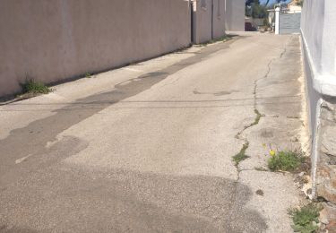
Le Chemin Pr est totalement fermé et le randonneur est obligé de suivre un itinéraire aussi fléché mais sur route parfois à forte circulation


Marche
Marche

V.T.T.
Marche
Marche

Marche

V.T.T.
Marche
Marche nordique