


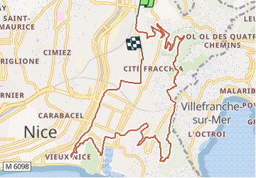

7,9 km | 10,3 km-effort


Utilisateur


Application GPS de randonnée GRATUITE
 SityTrail
IGN / Instituts géographiques
SityTrail World
Le monde est à vous
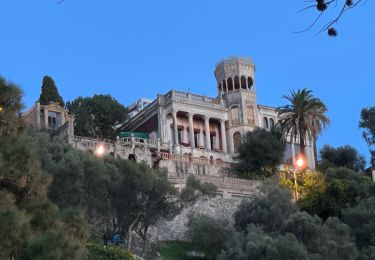
Randonnée Vélo électrique de 13,4 km à découvrir à Provence-Alpes-Côte d'Azur, Alpes-Maritimes, Nice. Cette randonnée est proposée par djejenski.
St Roch, Parc du Vinaigrier, Mt bBoron, descente sur le Port de Nice, retour st roch
Marche
Marche

Marche

Marche
Marche

Marche

Marche
Marche
Marche