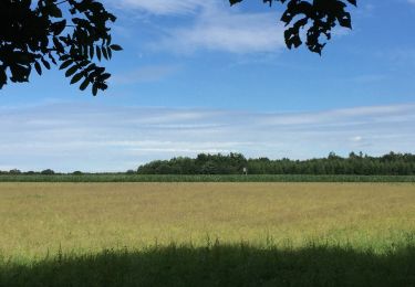
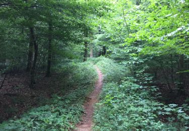
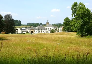
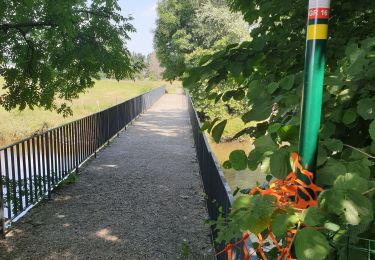
Randonnée Marche Tintigny - RB-PN-03C - Saint-Vincent - Raccourci 2 - Photo

RB-PN-03C - Saint-Vincent - Raccourci 2

Randonnez sur et autour des GR ® wallons (Sentiers de Grande Randonnée). PRO

© OpenStreetMap contributors
Longueur
Longueur
13,8 km
Altitude max
Altitude max
395 m
Dénivelé positif
Dénivelé positif
172 m
Km-Effort
Km-Effort  
16,1 km
Altitude min
Altitude min
331 m
Dénivelé négatif
Dénivelé négatif
171 m
Boucle
Boucle
Oui
Date de création :
2022-01-08 16:38:48.614
Dernière modification :
2023-06-14 15:22:38.853

(1 Avis)

Marche
Marche
3h39
Difficulté : Difficile

Scannez ce code QR pour ouvrir la randonnée dans l'application SityTrail

Application GPS de randonnée GRATUITE

Logo SityTrail SityTrail

IGN / Instituts géographiques

Télécharger SityTrail sur l'App Store Télécharger SityTrail sur Google Play

Logo SityTrail SityTrail World

Le monde est à vous

Télécharger SityTrail sur l'App Store Télécharger SityTrail sur Google Play Télécharger SityTrail sur Huawei AppGallery

À propos

Randonnée Marche de 13,8 km à découvrir à Wallonie, Luxembourg, Tintigny. Cette randonnée est proposée par GR Rando.

Points d'intérêt

Point d'intérêt Chiny - Prouvy - Photo
grsentiers
CHINY 
Point d'intérêt Tintigny - Mine de fer - Photo
grsentiers
TINTIGNY 
Point d'intérêt Tintigny - Haut fourneau de Rawez - Photo
grsentiers
Point d'intérêt Tintigny - Chaussée romaine suite - Photo
grsentiers
Point d'intérêt Tintigny - Saint-Vincent - Photo
grsentiers
TINTIGNY 
Point d'intérêt Tintigny - Fourny du Mouty - Photo
grsentiers
TINTIGNY 

Localisation

Pays :
Belgique
Région :
Wallonie
Département/Province :
Luxembourg
Commune :
Tintigny
Localité :
Unknown
Départ:(Dec)
Départ:(UTM)
678523 ; 5505666 (31U) N.

Commentaires

Veuillez vous connecter pour laisser un commentaire ou une note


Prévoir bottines hautes car la zone des marécages est bien marécageuse. Évidemment ;-).


Randonnées à proximité

Randonnée Marche Tintigny - À l’ombre de la forêt gaumaise  - Photo
Marche
Vagabond gaumardennais

Marche

Facile
(4)
Tintigny, Wallonie, Luxembourg, Belgique
14,6 km | 17 km-effort
2h 49min
Oui
Randonnée Marche Tintigny - La Rando du Bian: Autour de Lahage  - Photo
Marche
bian69

Marche

Facile
(1)
Tintigny, Wallonie, Luxembourg, Belgique
18,8 km | 22 km-effort
3h 58min
Oui
Randonnée A pied Chiny - Au fil des Méandres de la Semois - Photo
A pied
GUIDE+

A pied

Facile
Chiny, Wallonie, Luxembourg, Belgique
11,8 km | 13,8 km-effort
3h 7min
Oui
Randonnée Marche Chiny - 1-Prouvy-8Km - Photo
Marche
Dom62

Marche

Facile
(1)
Chiny, Wallonie, Luxembourg, Belgique
8,3 km | 9,7 km-effort
2h 12min
Oui
Randonnée A pied Tintigny - Rossignol bucolique - Photo
A pied
GUIDE+

A pied

Facile
Tintigny, Wallonie, Luxembourg, Belgique
4 km | 4,7 km-effort
1h 3min
Oui
Randonnée A pied Tintigny - Promenade Tintigny-Han - Photo
A pied
GUIDE+

A pied

Facile
Tintigny, Wallonie, Luxembourg, Belgique
4,4 km | 5 km-effort
1h 7min
Oui
Randonnée Vélo de route Chiny - Gallor 2 - Photo
Vélo de route
walker50

Vélo de route

Facile
Chiny, Wallonie, Luxembourg, Belgique
27 km | 31 km-effort
2h 54min
Oui
Randonnée Marche Tintigny - Bellefontaine,  Gros Cron, Baraque Payat - Photo
Marche
fdenardin

Marche

Moyen
Tintigny, Wallonie, Luxembourg, Belgique
19,2 km | 23 km-effort
4h 56min
Oui
Randonnée Marche Tintigny - Bellefontaine _ Marche Privée  - Photo
Marche
jeangulu

Marche

Facile
Tintigny, Wallonie, Luxembourg, Belgique
20 km | 24 km-effort
5h 8min
Oui


Fermer
Mes abonnements