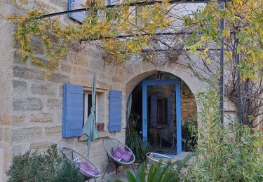
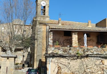
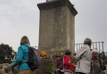
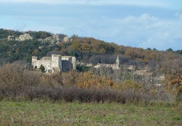
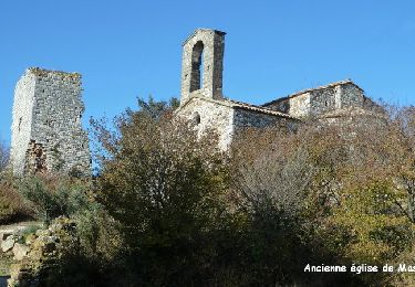
Randonnée Marche Saint-Quentin-la-Poterie - st victor des oules accro branché église château mont aigu lavoir - Photo

st victor des oules accro branché église château mont aigu lavoir

 Dan30
Dan30

Utilisateur

© OpenStreetMap contributors
Longueur
Longueur
6,8 km
Altitude max
Altitude max
246 m
Dénivelé positif
Dénivelé positif
174 m
Km-Effort
Km-Effort  
9,1 km
Altitude min
Altitude min
132 m
Dénivelé négatif
Dénivelé négatif
170 m
Boucle
Boucle
Oui
Date de création :
2022-01-09 10:19:45.739
Dernière modification :
2022-01-09 11:52:06.311

(0 Avis)

Marche
Marche
1h24
Difficulté : Facile

Scannez ce code QR pour ouvrir la randonnée dans l'application SityTrail

Application GPS de randonnée GRATUITE

Logo SityTrail SityTrail

IGN / Instituts géographiques

Télécharger SityTrail sur l'App Store Télécharger SityTrail sur Google Play

Logo SityTrail SityTrail World

Le monde est à vous

Télécharger SityTrail sur l'App Store Télécharger SityTrail sur Google Play Télécharger SityTrail sur Huawei AppGallery

À propos

Randonnée Marche de 6,8 km à découvrir à Occitanie, Gard, Saint-Quentin-la-Poterie. Cette randonnée est proposée par Dan30.

Profil altimétrique

Localisation

Pays :
France
Région :
Occitanie
Département/Province :
Gard
Commune :
Saint-Quentin-la-Poterie
Localité :
Unknown
Départ:(UTM)
617753 ; 4877993 (31T) N.

Randonnées à proximité

Randonnée Marche Saint-Siffret - au départ de St Siffrey - Photo
Marche
GUIDE
nadinebondoux

Marche

Moyen
Saint-Siffret, Occitanie, Gard, France
18,2 km | 22 km-effort
5h 27min
Oui
Randonnée Marche Uzès - 2 Uzès par ch des amoureux Arpaillargues  - Photo
Marche
caroline116

Marche

Moyen
(1)
Uzès, Occitanie, Gard, France
8 km | 10 km-effort
1h 51min
Oui
Randonnée Marche La Capelle-et-Masmolène - La Capelle-et-Masmolène - Photo
Marche
Gegetop

Marche

Facile
La Capelle-et-Masmolène, Occitanie, Gard, France
7,7 km | 9,1 km-effort
2h 8min
Oui
Randonnée Marche Saint-Victor-des-Oules - st victor domicile la madone  - Photo
Marche
Dan30

Marche

Très facile
Saint-Victor-des-Oules, Occitanie, Gard, France
9,2 km | 11,6 km-effort
2h 0min
Oui
Randonnée Marche Saint-Hippolyte-de-Montaigu - Saint hypollite de Montaigu - Photo
Marche
poisson1103

Marche

Facile
Saint-Hippolyte-de-Montaigu, Occitanie, Gard, France
19,6 km | 25 km-effort
3h 20min
Non
Randonnée V.T.T. Saint-Quentin-la-Poterie - saintquentinlapoterie - Photo
V.T.T.
jpfrobert

V.T.T.

Moyen
(1)
Saint-Quentin-la-Poterie, Occitanie, Gard, France
27 km | 33 km-effort
2h 8min
Oui
Randonnée V.T.T. La Capelle-et-Masmolène - De Masmolène à Vallabrix - Photo
V.T.T.
tracegps

V.T.T.

Moyen
La Capelle-et-Masmolène, Occitanie, Gard, France
18,1 km | 22 km-effort
2h 30min
Oui
Randonnée Marche La Capelle-et-Masmolène - De Masmolène à Vallabrix - Photo
Marche
tracegps

Marche

Difficile
La Capelle-et-Masmolène, Occitanie, Gard, France
18,1 km | 22 km-effort
5h 0min
Oui
Randonnée Marche Flaux - Entre la Capelle et St Victor - Flaux - Photo
Marche
tracegps

Marche

Moyen
Flaux, Occitanie, Gard, France
18,1 km | 23 km-effort
5h 0min
Oui


Fermer
Mes abonnements