


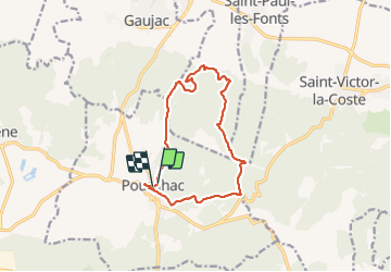

11,3 km | 14 km-effort


Utilisateur


Application GPS de randonnée GRATUITE
 SityTrail
IGN / Instituts géographiques
SityTrail World
Le monde est à vous
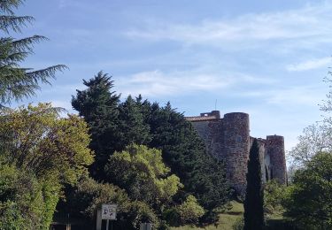
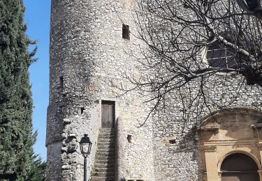
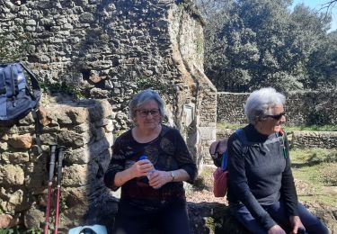
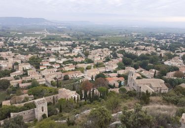
Randonnée Marche de 13,5 km à découvrir à Occitanie, Gard, Pouzilhac. Cette randonnée est proposée par 001562.383de3cfc5924888be2f26e1d9d12691.1227.
Marche
Marche
Marche
Marche

Marche
Marche
Marche
Marche