


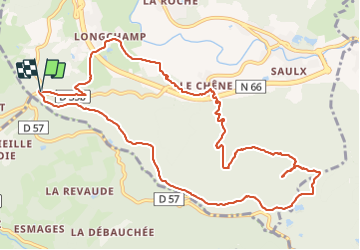

10,7 km | 13,9 km-effort


Utilisateur


Application GPS de randonnée GRATUITE
 SityTrail
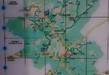
IGN / Instituts géographiques
SityTrail World
Le monde est à vous
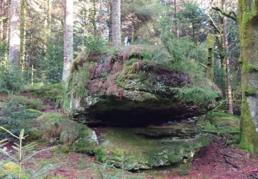
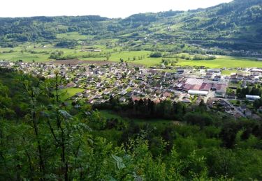
Randonnée Marche de 12,4 km à découvrir à Grand Est, Vosges, Rupt-sur-Moselle. Cette randonnée est proposée par Le grand Claude.

Marche

Marche
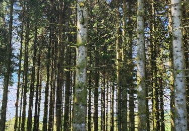
Marche
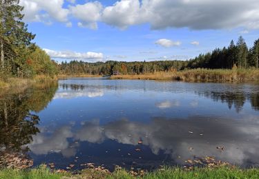
Marche
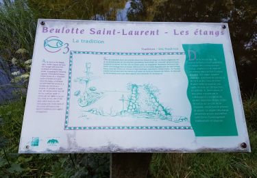
Marche
Marche
Autre activité
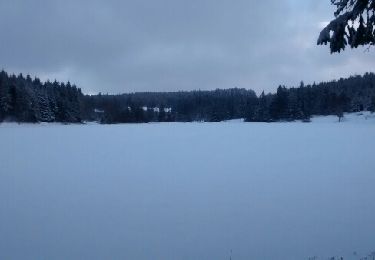
Raquettes à neige
Marche