


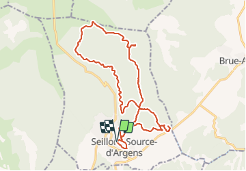

10,7 km | 13,7 km-effort

Utilisateur


Application GPS de randonnée GRATUITE
 SityTrail
IGN / Instituts géographiques
SityTrail World
Le monde est à vous
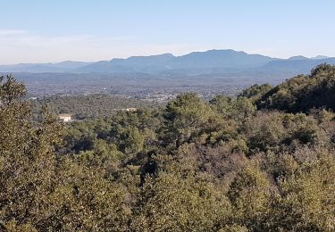
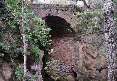
Randonnée Marche de 23 km à découvrir à Provence-Alpes-Côte d'Azur, Var, Seillons-Source-d'Argens. Cette randonnée est proposée par Christiancordin.
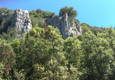
Seillons source d'Argens-pont d'Argens-source de l'Argens-rocher des abeilles.


sport
A pied
Marche
Marche
Marche
Marche
Marche
Marche

Marche