


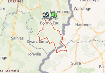


8,2 km | 10,3 km-effort


Randonnées du CGT GUIDE+


Application GPS de randonnée GRATUITE
 SityTrail
IGN / Instituts géographiques
SityTrail World
Le monde est à vous
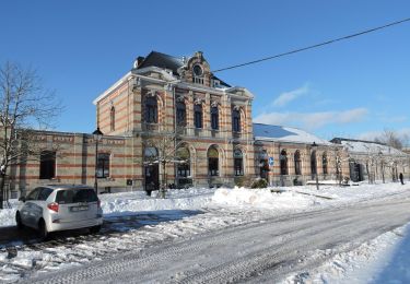
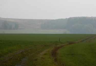
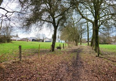
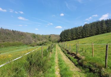
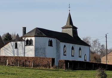
Randonnée A pied de 9,6 km à découvrir à Wallonie, Luxembourg, Bastogne. Cette randonnée est proposée par Commissariat général au Tourisme.
Randonnée créée par Pays de Bastogne.
Site web: https://organismes.tourismewallonie.be/details/LOD-A0-0030-27ZE&type=8/

Marche
A pied
Marche
Marche
Marche

Marche
Marche
Marche
Marche