


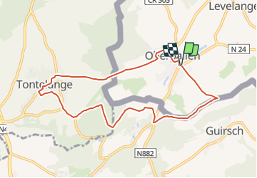


7,8 km | 10,8 km-effort

Tous les sentiers balisés d’Europe PRO


Application GPS de randonnée GRATUITE
 SityTrail
IGN / Instituts géographiques
SityTrail World
Le monde est à vous
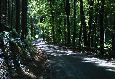
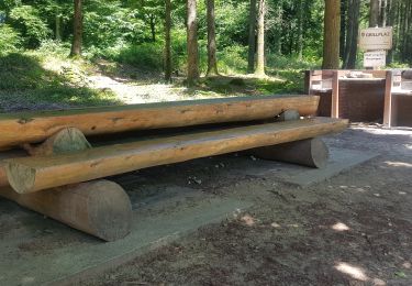
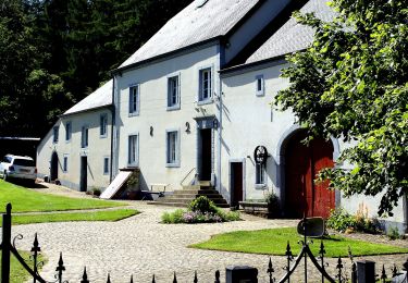
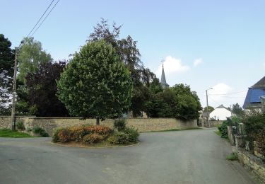
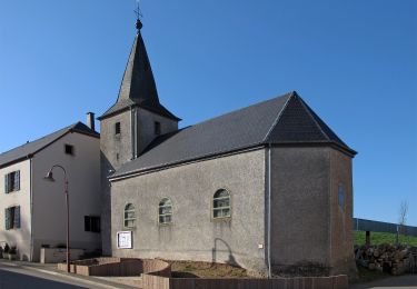
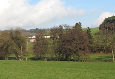
Randonnée A pied de 8,2 km à découvrir à Inconnu, Canton Redange, Beckerich. Cette randonnée est proposée par SityTrail - itinéraires balisés pédestres.
Symbole: Pointeur bleu
Site web: http://www.pnva.be/decouvrir-le-territoire/les-promenades/


Marche
Marche
Marche
Marche
A pied
A pied
A pied

Marche
A pied