


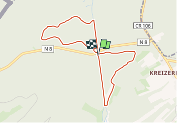

4,1 km | 5,3 km-effort

Utilisateur


Application GPS de randonnée GRATUITE
 SityTrail
IGN / Instituts géographiques
SityTrail World
Le monde est à vous
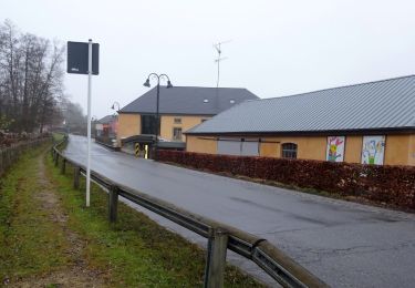
Randonnée Marche de 4,2 km à découvrir à Inconnu, Canton Capellen, Habscht. Cette randonnée est proposée par Summok.
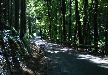
Départ à la Grill Platz. Belle descente jusqu'à l'entrée du tunnel. Traversée du tunnel. Remontée en pente modérée avec un bon petit raid.
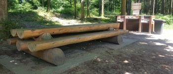
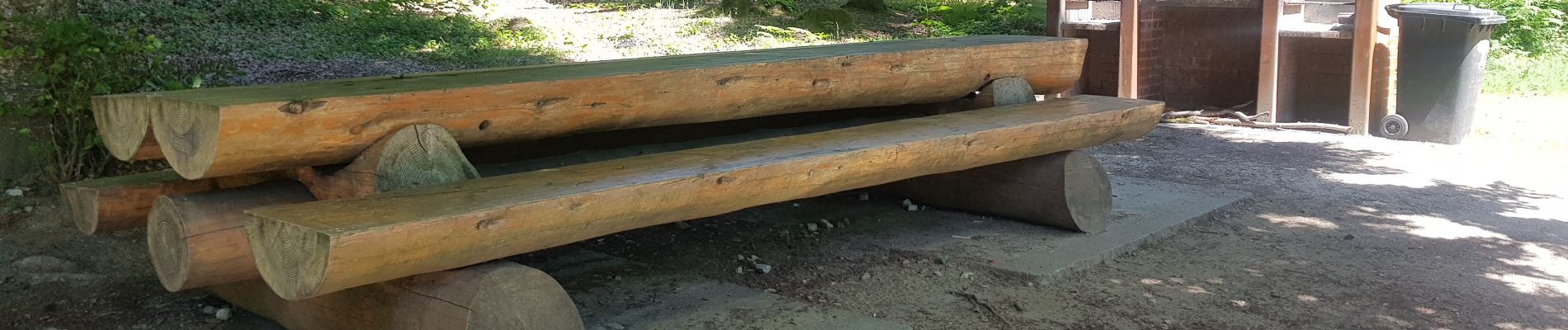
Facile à se garer. Possibilité de Pic Nic et de barbecue.
Gardez l'endroit propre ;-)

Marche
Marche

Marche
A pied

A pied
A pied
A pied
A pied
A pied