![](/images/other/stat-length.png)
![Randonnée A pied Durbuy - Bois d'Eneilles - Photo](https://media.geolcdn.com/t/1900/400/ext.pjpeg?maxdim=2&url=https%3A%2F%2Fmedia.geolcdn.com%2Ff%2Fe969b6cb-4d0c-47aa-9e71-f2354600cc76.jpeg)
Bois d'Eneilles
SityTrail - itinéraires balisés pédestres
Tous les sentiers balisés d’Europe PRO
![Longueur](/images/other/stat-length.png)
Longueur
9,4 km
![Altitude max](https://static1.geolcdn.com/siteimages/upload/files/1508320355ic_sort_altitude_max_24dp.png)
Altitude max
271 m
![Dénivelé positif](https://static1.geolcdn.com/siteimages/upload/files/1508320355ic_sort_den_pos_24dp.png)
Dénivelé positif
151 m
![Km-Effort](/images/other/stat-length.png)
Km-Effort
11,4 km
![Altitude min](https://static1.geolcdn.com/siteimages/upload/files/1508320355ic_sort_altitude_min_24dp.png)
Altitude min
162 m
![Dénivelé négatif](https://static1.geolcdn.com/siteimages/upload/files/1508320355ic_sort_den_neg_24dp.png)
Dénivelé négatif
153 m
![Boucle](https://static1.geolcdn.com/siteimages/upload/files/16400158638029165_repeat_loop_refresh_sync_direction_icon.png)
Boucle
Oui
Balise
Date de création :
2022-02-09 18:56:54.339
Dernière modification :
2022-02-09 18:56:54.339
![A pied](https://static1.geolcdn.com/sitytour/trail-icons/100.png)
2h35
Difficulté : Facile
![Scannez ce code QR pour ouvrir la randonnée dans l'application SityTrail](https://capi.geolives.com/qq0zvz2zws4bq2lad0pu/sitytour/trails/3084948/qr.png?size=200)
Application GPS de randonnée GRATUITE
À propos
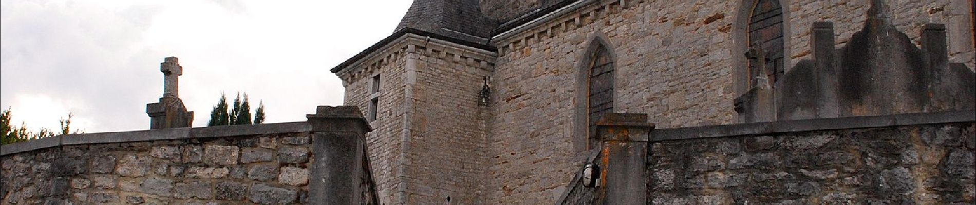
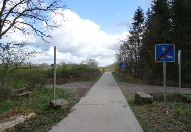
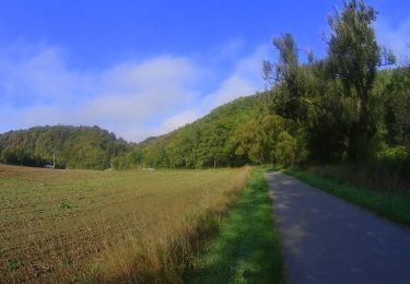
Randonnée A pied de 9,4 km à découvrir à Wallonie, Luxembourg, Durbuy. Cette randonnée est proposée par SityTrail - itinéraires balisés pédestres.
Description
Randonnée créée par Office communal du Tourisme Durbuy.
Symbole: blue rectangle
Localisation
Pays :
Belgique
Région :
Wallonie
Département/Province :
Luxembourg
Commune :
Durbuy
Localité :
Unknown
Départ:(Dec)
Départ:(UTM)
669068 ; 5576523 (31U) N.
Commentaires
Randonnées à proximité
![Randonnée Marche Somme-Leuze - Sentiers d'Art : Boucle16 - Somal - Photo](https://media.geolcdn.com/t/375/260/ext.jpg?maxdim=2&url=https%3A%2F%2Fmedia.geolcdn.com%2Ff%2Feae3e58a-34ce-48df-b7e8-8306bccbd31f.JPG)
![Marche Marche](https://static1.geolcdn.com/sitytour/trail-icons/101.png)
Sentiers d'Art : Boucle16 - Somal
Marche
Moyen
(5)
Somme-Leuze,
Wallonie,
Namur,
Belgique
![](/images/other/stat-length.png)
7,4 km | 9,9 km-effort
2h 7min
![](https://static1.geolcdn.com/siteimages/upload/files/16400158638029165_repeat_loop_refresh_sync_direction_icon.png)
Oui
![Randonnée Marche Durbuy - Petit Han - Circuit Natura 2000, des sites qui valent le détour - Lx21 - Photo](https://media.geolcdn.com/t/375/260/ext.jpg?maxdim=2&url=https%3A%2F%2Fservices.sitytrail.com%2FGeolivesWS%2FDownloadMedia.ashx%3FTrailID%3D542958%26Media%3Dd5b73723-81c8-45b8-923f-fe30b72cf695.JPG)
![Marche Marche](https://static1.geolcdn.com/sitytour/trail-icons/101.png)
Petit Han - Circuit Natura 2000, des sites qui valent le détour - Lx21
Marche
Facile
(6)
Durbuy,
Wallonie,
Luxembourg,
Belgique
![](/images/other/stat-length.png)
5,6 km | 6,3 km-effort
1h 23min
![](https://static1.geolcdn.com/siteimages/upload/files/16400158638029165_repeat_loop_refresh_sync_direction_icon.png)
Oui
![Randonnée Marche Durbuy - Marche ADEPS Septon 2022 - 20KM - Photo](https://media.geolcdn.com/t/375/260/ext.jpg?maxdim=2&url=https%3A%2F%2Fmedia.geolcdn.com%2Ff%2F56ae0d44-77ac-4bf0-9b7b-b51a806db48c.jpg)
![Marche Marche](https://static1.geolcdn.com/sitytour/trail-icons/101.png)
Marche ADEPS Septon 2022 - 20KM
Marche
Moyen
(1)
Durbuy,
Wallonie,
Luxembourg,
Belgique
![](/images/other/stat-length.png)
20 km | 25 km-effort
3h 55min
![](https://static1.geolcdn.com/siteimages/upload/files/16400158638029165_repeat_loop_refresh_sync_direction_icon.png)
Oui
![Randonnée Marche Hotton - Fronville - Monteuville - Petihan - Photo](https://media.geolcdn.com/t/375/260/ext.jpg?maxdim=2&url=https%3A%2F%2Fservices.sitytrail.com%2FGeolivesWS%2FDownloadMedia.ashx%3FTrailID%3D1067628%26Media%3Dfix__20181106130901.jpg)
![Marche Marche](https://static1.geolcdn.com/sitytour/trail-icons/101.png)
Fronville - Monteuville - Petihan
Marche
Facile
(1)
Hotton,
Wallonie,
Luxembourg,
Belgique
![](/images/other/stat-length.png)
13 km | 14,8 km-effort
2h 11min
![](https://static1.geolcdn.com/siteimages/upload/files/16400158638029165_repeat_loop_refresh_sync_direction_icon.png)
Oui
![Randonnée Marche Hotton - Saint-Pierre - Photo](https://media.geolcdn.com/t/375/260/ext.jpg?maxdim=2&url=https%3A%2F%2Fservices.sitytrail.com%2FGeolivesWS%2FDownloadMedia.ashx%3FTrailID%3D204152%26Media%3D4d13859b-e8ea-464e-b6f5-80f7a1b7659d.jpg)
![Marche Marche](https://static1.geolcdn.com/sitytour/trail-icons/101.png)
Saint-Pierre
Marche
Facile
(3)
Hotton,
Wallonie,
Luxembourg,
Belgique
![](/images/other/stat-length.png)
10,9 km | 12,1 km-effort
2h 43min
![](https://static1.geolcdn.com/siteimages/upload/files/16400158638029165_repeat_loop_refresh_sync_direction_icon.png)
Oui
![Randonnée Marche Durbuy - Chêne à l'image - Photo](https://media.geolcdn.com/t/375/260/ext.jpg?maxdim=2&url=https%3A%2F%2Fservices.sitytrail.com%2FGeolivesWS%2FDownloadMedia.ashx%3FTrailID%3D258167%26Media%3D8a086a84-0ec9-4976-9b34-c25b870b774e.JPG)
![Marche Marche](https://static1.geolcdn.com/sitytour/trail-icons/101.png)
Chêne à l'image
Marche
Facile
(2)
Durbuy,
Wallonie,
Luxembourg,
Belgique
![](/images/other/stat-length.png)
5,6 km | 6,3 km-effort
2h 30min
![](https://static1.geolcdn.com/siteimages/upload/files/16400158638029165_repeat_loop_refresh_sync_direction_icon.png)
Oui
![Randonnée V.T.T. Durbuy - VTT autour des villages de Durbuy. - Photo](https://media.geolcdn.com/t/375/260/ext.jpg?maxdim=2&url=https%3A%2F%2Fmedia.geolcdn.com%2Ff%2F9ec135e8-9b2f-41d9-b83c-8601ae18eff7.JPG)
![V.T.T. V.T.T.](https://static1.geolcdn.com/sitytour/trail-icons/202.png)
VTT autour des villages de Durbuy.
V.T.T.
Très difficile
Durbuy,
Wallonie,
Luxembourg,
Belgique
![](/images/other/stat-length.png)
44 km | 55 km-effort
3h 49min
![](https://static1.geolcdn.com/siteimages/upload/files/16400158638029165_repeat_loop_refresh_sync_direction_icon.png)
Oui
![Randonnée Marche Somme-Leuze - Marche ADEPS à Baillonville. Beau parcours de 10km400. - Photo](https://media.geolcdn.com/t/375/260/ext.jpg?maxdim=2&url=https%3A%2F%2Fmedia.geolcdn.com%2Ff%2F03b7f9f8-1563-4beb-9a4d-02cdf91cc243.jpg)
![Marche Marche](https://static1.geolcdn.com/sitytour/trail-icons/101.png)
Marche ADEPS à Baillonville. Beau parcours de 10km400.
Marche
Moyen
Somme-Leuze,
Wallonie,
Namur,
Belgique
![](/images/other/stat-length.png)
10,4 km | 12,7 km-effort
1h 59min
![](https://static1.geolcdn.com/siteimages/upload/files/16400158638029165_repeat_loop_refresh_sync_direction_icon.png)
Oui
![Randonnée Marche Hotton - Melreux (Hotton) - Photo](https://media.geolcdn.com/t/375/260/ext.jpg?maxdim=2&url=https%3A%2F%2Fmedia.geolcdn.com%2Ff%2F6bc12e89-c39c-4591-9fd0-3806ff227248.jpg)
![Marche Marche](https://static1.geolcdn.com/sitytour/trail-icons/101.png)
Melreux (Hotton)
Marche
Moyen
Hotton,
Wallonie,
Luxembourg,
Belgique
![](/images/other/stat-length.png)
13,7 km | 15,8 km-effort
2h 48min
![](https://static1.geolcdn.com/siteimages/upload/files/16400158638029165_repeat_loop_refresh_sync_direction_icon.png)
Oui