


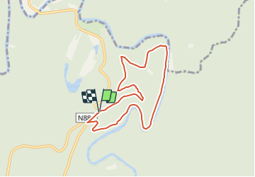

18,6 km | 25 km-effort

Tous les sentiers balisés d’Europe PRO


Application GPS de randonnée GRATUITE
 SityTrail
IGN / Instituts géographiques
SityTrail World
Le monde est à vous
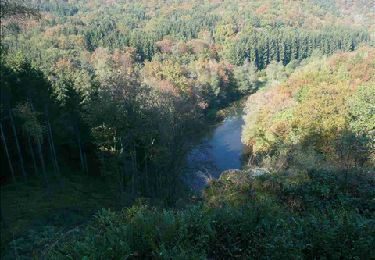
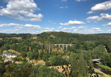
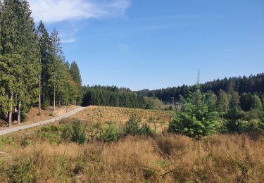
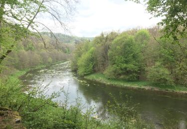
Randonnée A pied de 6,7 km à découvrir à Wallonie, Luxembourg, Florenville. Cette randonnée est proposée par SityTrail - itinéraires balisés pédestres.
Randonnée créée par Syndicat d'initiative de Florenville.
chemins d'accès et liants inclus; balisage est très incomplet et embrouillant

Marche
Marche
Marche
Marche
Marche

Marche
Marche

Marche

Course à pied